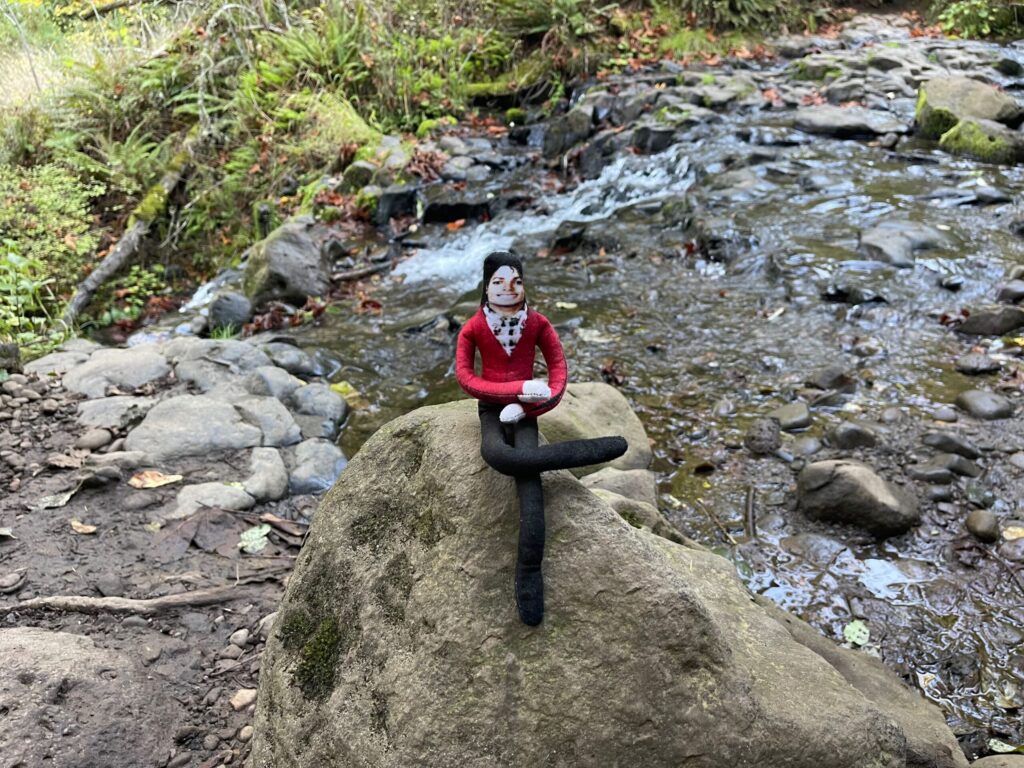
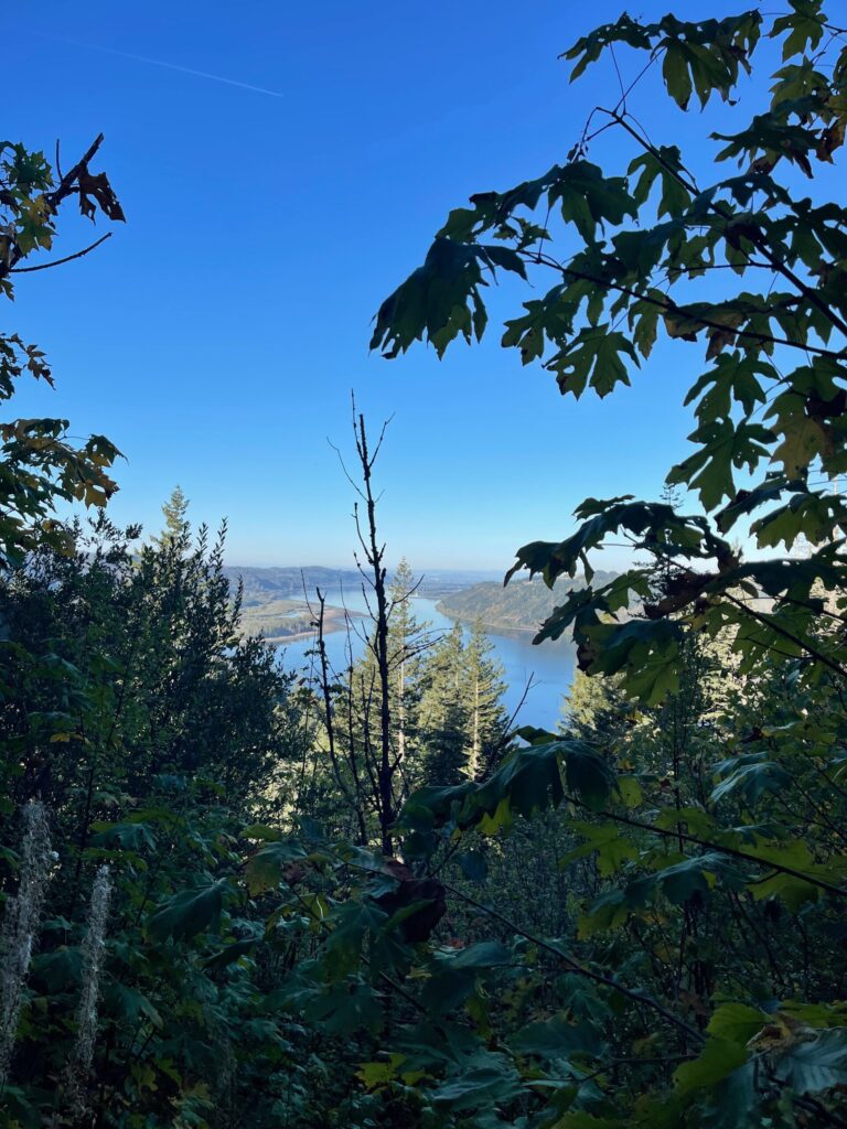
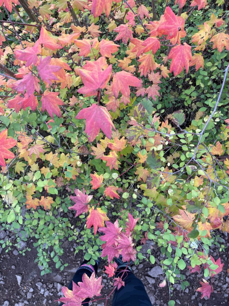
Category Archives: adventures

Seven-ish hours in Seattle

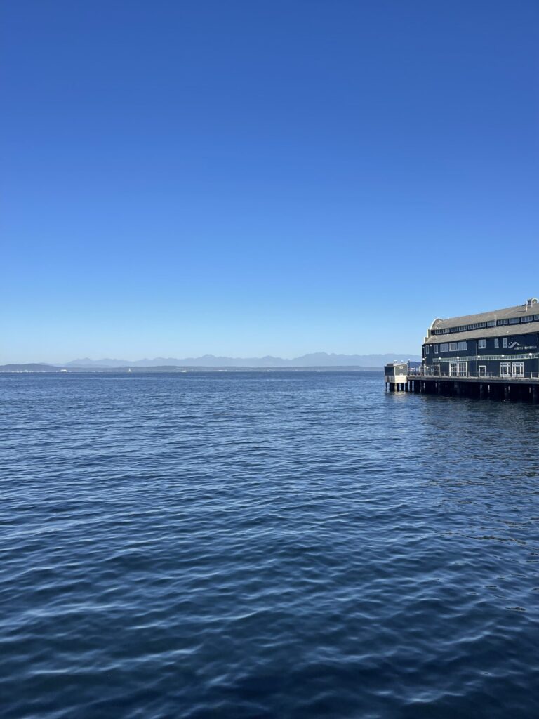
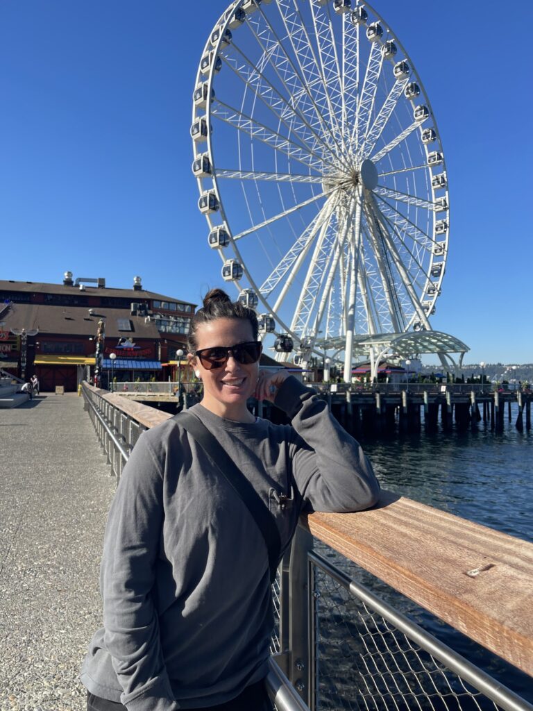
At the end of July, a friend and I took a day trip to Seattle to visit a store we learned about via an Instagram reel in April. It was my first time traveling (“traveling”) in years and I loved it. It was so much fun!! I want to go back!! For longer!!

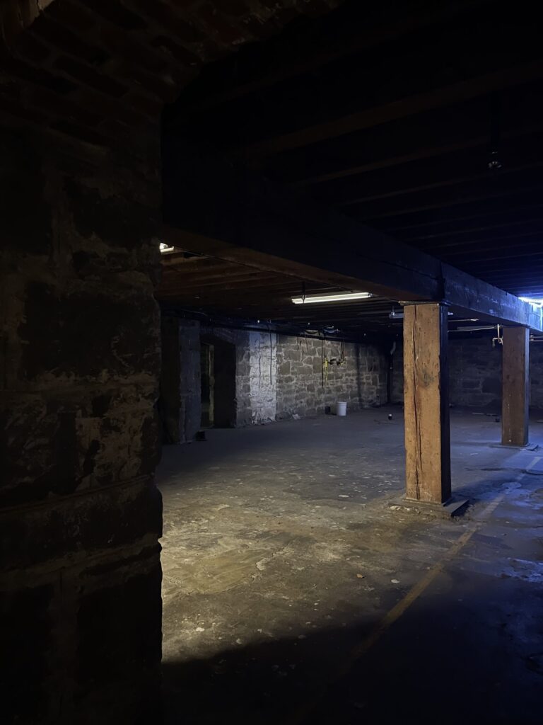
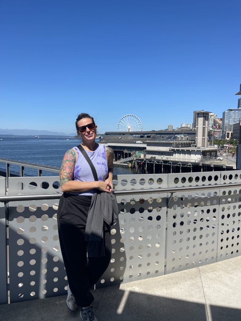
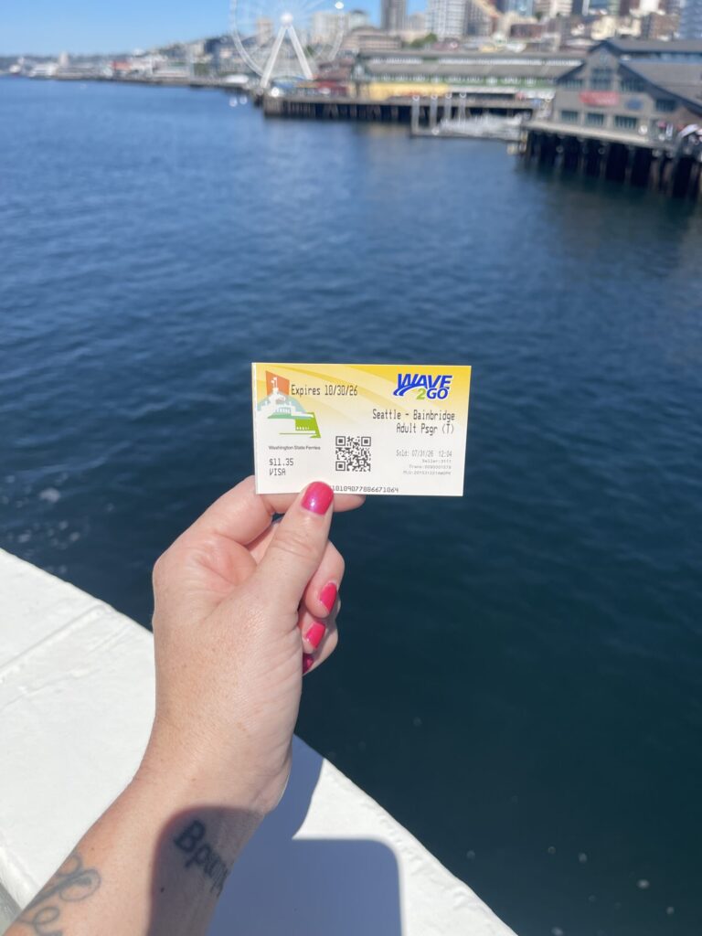
We didn’t stay for long, we didn’t do a whole lot, and I didn’t take many photos. And yet!! We had a great time. The few things we did do: walked up and down the waterfront (which had me missing the boardwalks of the Mid-Atlantic so bad), took a Seattle Underground walking tour (you get a paper ticket!!!), had pizza with the best dough/crust either of us have ever had for lunch, killed some extra time between lunch and a ferry ride at the Klondike Gold Rush museum (no photos), took the ferry to Bainbridge Island and back (another paper ticket!!!), shared a Jimothy’s Trash Bandit Sundae from Molly Moon’s, and, finally, headed to Big Whale Consignment, which was the original purpose of our drive up.

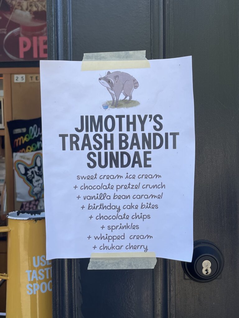
Sign taped to the ice cream stand with an illustration of Jimothy, Seattle's famous and beloved raccoon. It reads: Jimothy's trash bandit sundae: sweet cream ice cream, chocolate pretzel crunch, vanilla bean caramel, birthday cake bites, chocolate chips, sprinkles, whipped cream, chukar cherry.
Overhead view of two large slices of pizza on red and white checkered paper atop paper plates on a navy blue table. My slice has cheese and pepperoni, my friend's has cheese, peppers, ham, and pineapple.
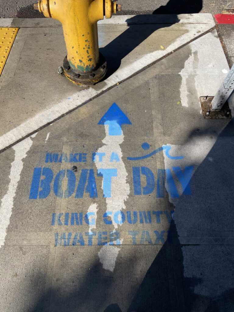
"Make it a boat day, King County water taxi" stenciled in bright blue on a wet sidewalk near the Seattle waterfront.
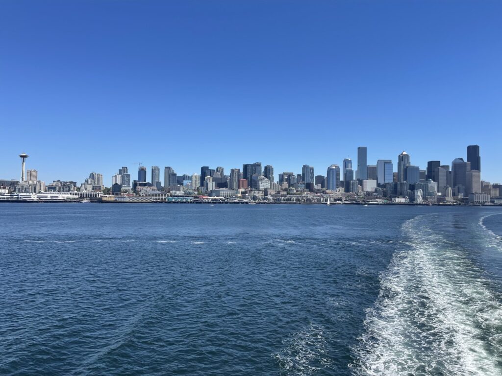
Seattle skyline as seen from the deck of the ferry as it headed across Elliot Bay to Bainbridge Island.
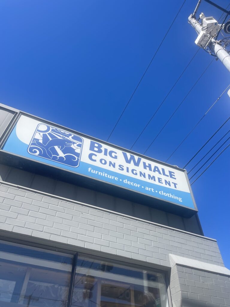
Building signage for the Big Whale Consignment store in Seattle.

Although we didn’t stay long, do much, or take many photos, it was a great day and the trip was a success. The weather was perfect, the activities were fun, I LOVED being near the water (I miss it beyond words), and I cannot wait to go back and spend a long weekend doing all of the touristy things.

Hike Passport: Summer 2026

I’ve been on a roll lately and have several updated projects and completed projects to share in the coming weeks. Today, I’m kicking things off with my Hike Passport, which I’ve updated to include my summer 2026 hikes.

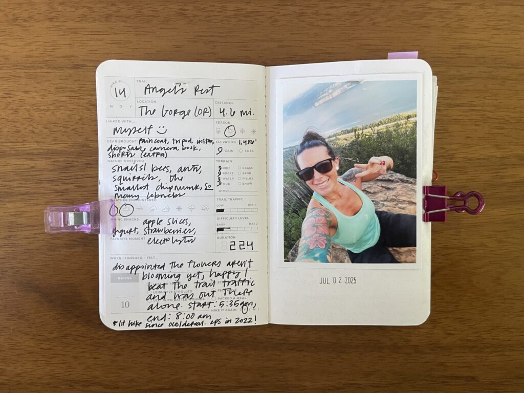
Angel’s Rest; hiked July 2, 2025. My third time hiking this trail (one of the few trails I’ve hiked more than once), and my first hike in three-ish years, after mental illness kept me off the trail for way too long.

Spread of my hike of Angel's Rest, a 4.6-mile hike in the Columbia River Gorge, summer 2025. Details about the hike are written on the left page, a photo of me from the hike is on the right page, with the date of the hike stamped beneath it.

Tom Dick and Harry Mountain via Mirror Lake; hiked July 8, 2025. Gorgeous views, entirely too many mosquitoes. Prepare accordingly.

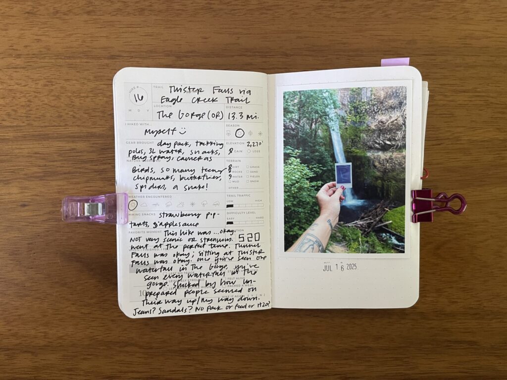
Twister Falls via Eagle Creek Trail; hiked July 16, 2025. First (and only!) hike this season that tested my OCD. Still a little surprised my brain didn’t turn against me during this one.

Spread of my hike of Twister Falls via Eagle Creek Trail, a 13.3-mile hike in the Columbia River Gorge, summer 2025. Details about the hike are written on the left page, a photo from the hike is on the right page, with the date of the hike stamped beneath it.

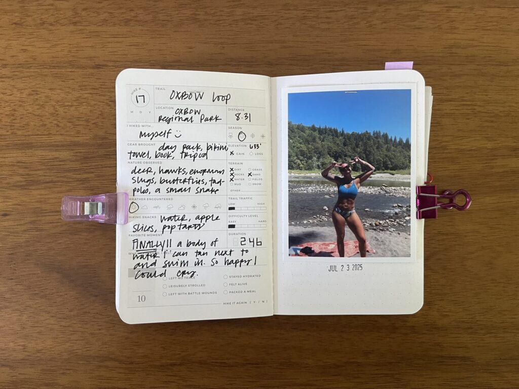
Oxbow Loop; hiked July 23, 2025. The best part of this hike (“hike”): a body of water that I can spend hours upon hours lying next to and floating in, almost completely undisturbed by other people.

Spread of my hike of Oxbow Loop, an 8.31-mile hike in Oxbow Regional Park, summer 2025. Details about the hike are written on the left page, a photo of me from the hike is on the right page, with the date of the hike stamped beneath it.

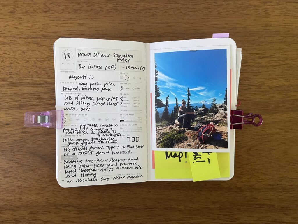
Mount Defiance and Starvation Ridge; hiked July 28, 2025. Terrible. An absolute slog. Never again. Unless…

Spread of my hike of Mount Defiance and Starvation Ridge, an approximately 13.5-mile hike in the Columbia River Gorge, summer 2025. Details about the hike are written on the left page, a photo of me from the hike is on the right page, with the date of the hike stamped beneath it.

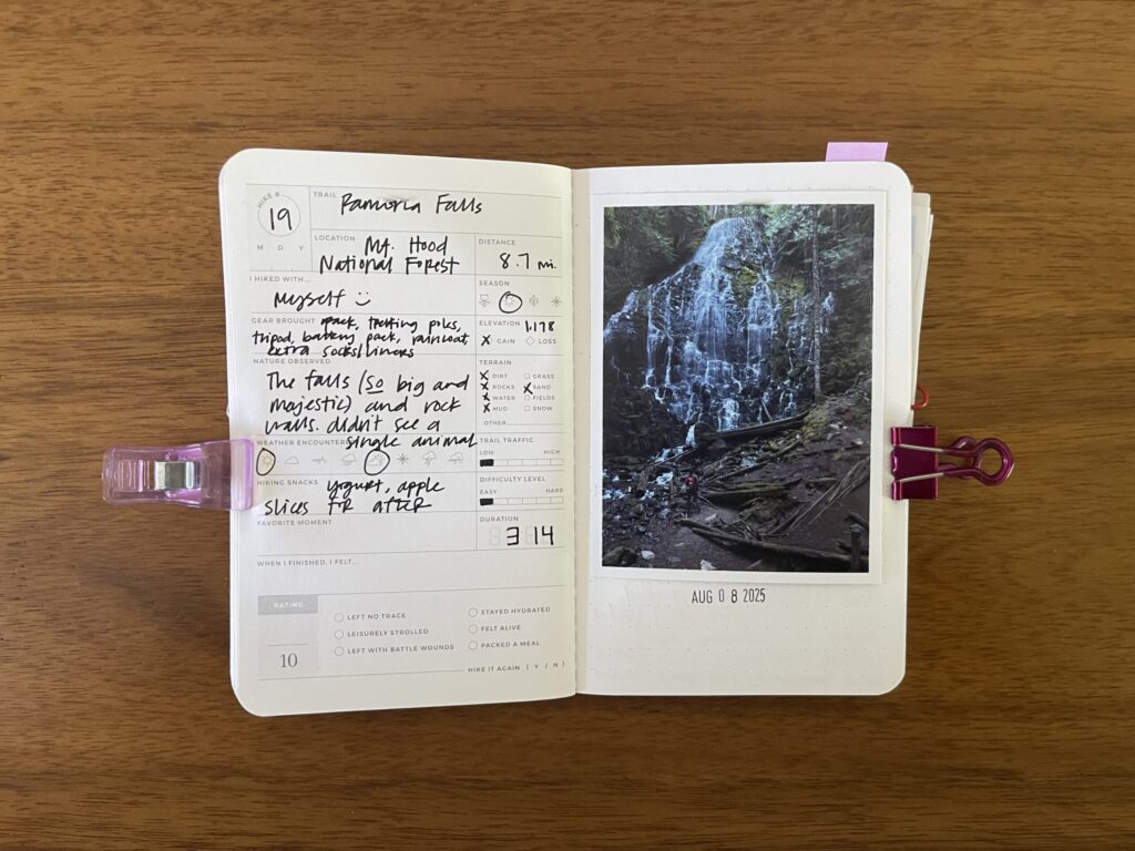
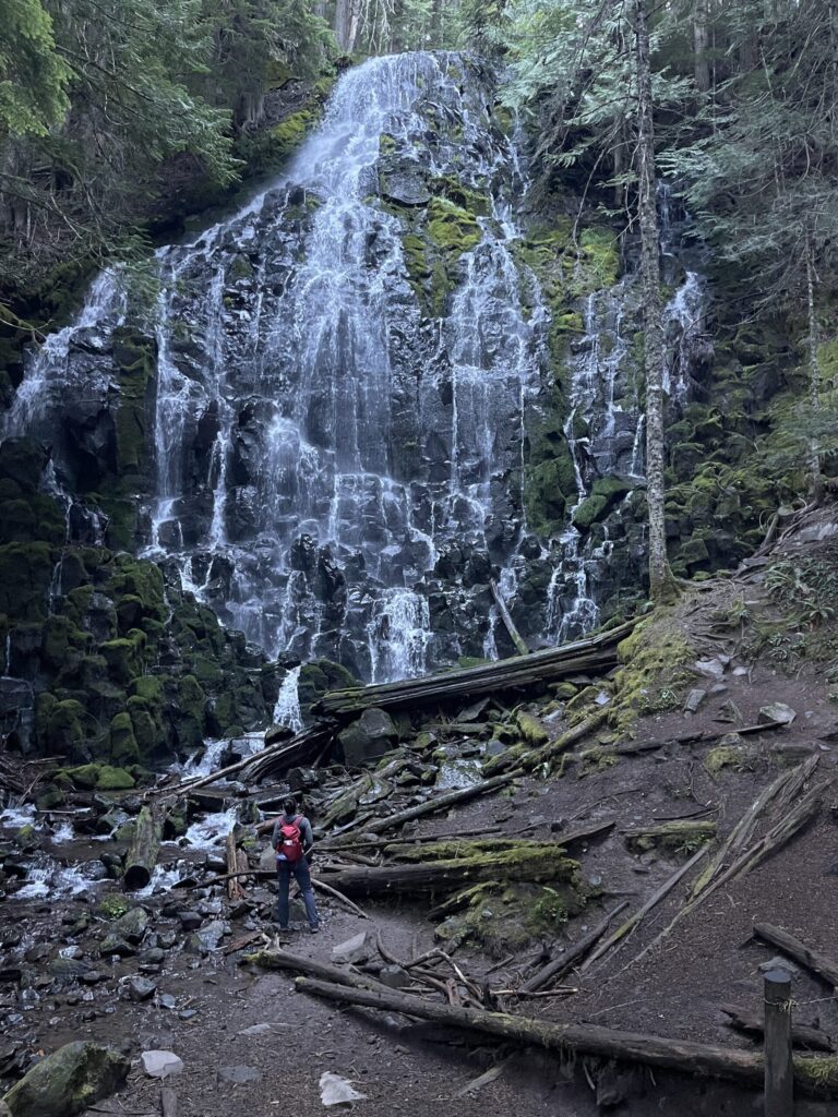
Ramona Falls; hiked August 8, 2025. Last proper hike of the season, and the last one I shared on the blog. Still can’t get over how big the falls are. Look how teeny tiny I am in that photo!!

Spread of my hike of Ramona Falls, an 8.7-mile hike in Mt. Hood National Forest, summer 2025. Details about the hike are written on the left page, a photo of me from the hike is on the right page, with the date of the hike stamped beneath it.

Angel’s Rest; attempted September 24, 2025. First attempt at a sunrise hike. Did not finish.

Spread of my aborted attempt at a sunrise hike of Angel's Rest in the Columbia River Gorge, summer 2025. Details about the hike are written on the left page, a photo of me from the hike is on the right page, with the date of the hike stamped beneath it.

Look. Listen. What happened was, I’d decided to end the season with my first-ever sunrise hike. What better local-ish spot to watch the sunrise than Angel’s Rest?

About 15 minutes in, I decided to try to capture in a photo for my kids how dark the trail was under the cover of trees. I turned on my phone’s flashlight to help illustrate this. As I began to lower my phone to turn off the flashlight and put it back in my pocket, the light caught a pair of glowing, yellow-ish eyes about 25 meters ahead of me, right in the middle of the trail. I froze immediately, staring back at the eyes, trying to figure out what to do.

I’ve said before that while I have experience hiking, I do not consider myself an experienced hiker. Partly because before this instance, I’ve never encountered wildlife on the trail before. Not knowingly, anyway. And certainly not in the dark, alone, in cougar country. I very quickly made the decision to calmly and slowly back away, then turned around and booked it back to my car. I was disappointed to not watch the sunrise from the summit, and I’m happy with the decision I made. Better safe than sorry. Especially when in the dark, alone, in cougar country, with a pair of glowing, yellow-ish eyes about 25 meters ahead of you, right in the middle of the trail, staring you down.

* * *

I’m pleased to announce that this set of hikes corresponds exactly to the number of blank pages I had left in this Hike Passport and therefore completes this volume. I’m sad to announce (1) I have only one Hike Passport remaining, which, like my other two volumes, has space for 20 hikes, and (2) the company that used to make them no longer does. RIP.

Hiking Dog Mountain

Back in November (yes, this is a very late post), I went on a rare non-warm-weather hike. I hiked Dog Mountain, a six-and-a-halfish-mile out-and-back on the Washington side of the Gorge. I was skeptical it’d be “worth it.” Famously, along with being considered one of the more strenuous hikes in the area, Dog Mountain is, for a few weeks each year, one of the more beautiful hikes in the area (wildflowers). Having done this hike before, and therefore having some experience with it specifically and the terrain and scenery in the Columbia River Gorge generally, I wasn’t sure what to expect scenery-wise outside of summer. Honestly, I thought it’d be a visual bust—just bare branches and soggy, brown leaves—in addition to being a physical and mental slog. I was wrong.

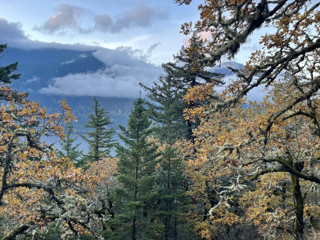
Vibrant fall foliage along Dog Mountain Trail.

Per usual, I arrived at the lot just as the sun began to rise.

And per usual, I was on the trail about 20 minutes later—all I had to do first was lace up my boots, decide which attire to actually wear (jackets, in this case), eat a few snacks, triple-check my pack had everything it needed (which I also checked a thousand times before leaving home), pee (twice), and quadruple-check my America the Beautiful pass satisfied the site’s day-use fee (it did).

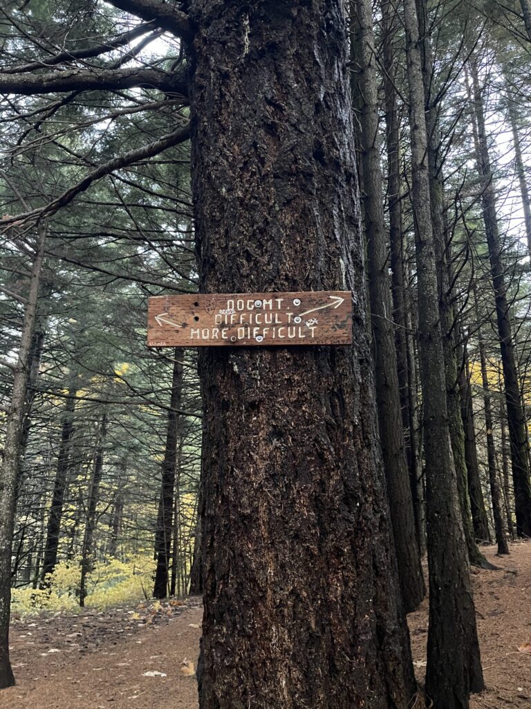
A sign nailed to a tree directing hikers to one of two routes: "difficult" and "more difficult."

I first hiked this trail three and a half years ago—in much warmer weather, a few weeks before peak wildflower season—and the impression of it I had then remains the same: it’s all lungs and legs, and it’s windy (and COLD!) as fuck at the top. There’s about 3,000 feet of elevation gain, and the ascent is immediate. It does not matter which route you choose. You will feel it going up and coming back down. If you’re like me on this day and (1) have to pee so incredibly badly but don’t dare step off trail to do so because there are more people than you expect and no clear cover to conceal yourself, and (2) forgot to trim your toenails, the descent will suck even more than the ascent—every steeply downhill step will stress test your dysfunctional bladder and pelvic floor, and have your slightly too-long toenails slamming into the toe box of your boots.

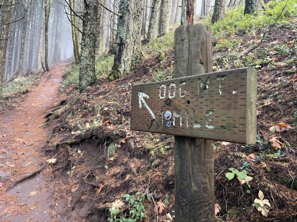
A sign directing hikers toward the Dog Mountain summit, 1 mile away.
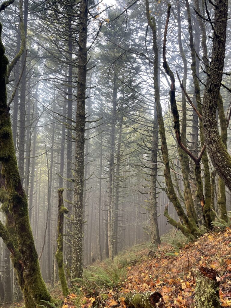
Thin fog as seen through tall tree lining Dog Mountain trail.
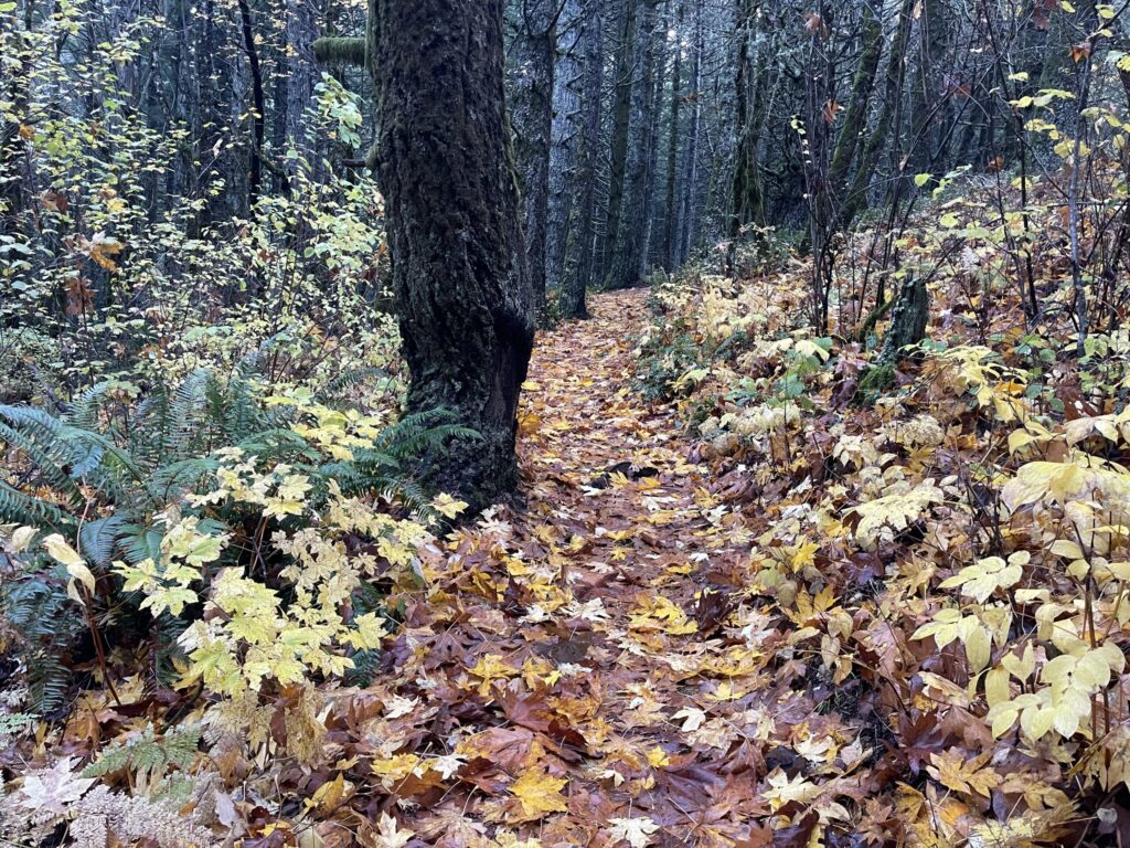
Vibrant fall foliage—orange and yellow and green and rusty red—covering Dog Mountain trail.

I was pleasantly surprised by how scenic much of the hike was, considering it was November. The fall foliage was gorgeous. Much more vibrant than it looks in my photos.

For much of the ascent, the sun came out in bursts, with a few quick sprinkles here and there. Yes, it was pretty cold and windy on the stretches of trail that had no tree cover. It’s also true that the weather could’ve been a lot less pleasant. I’m grateful it was a mild morning.

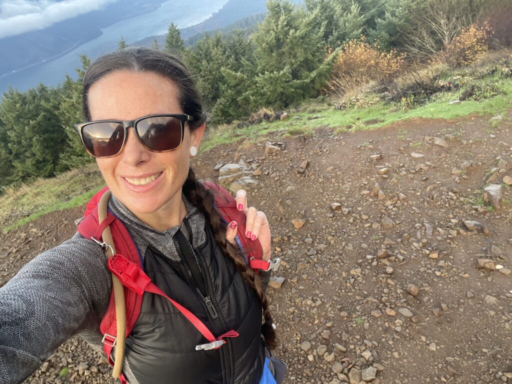
A false-summit selfie of me, with the Columbia River in the background.
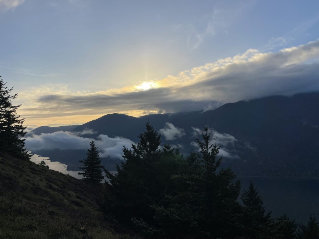
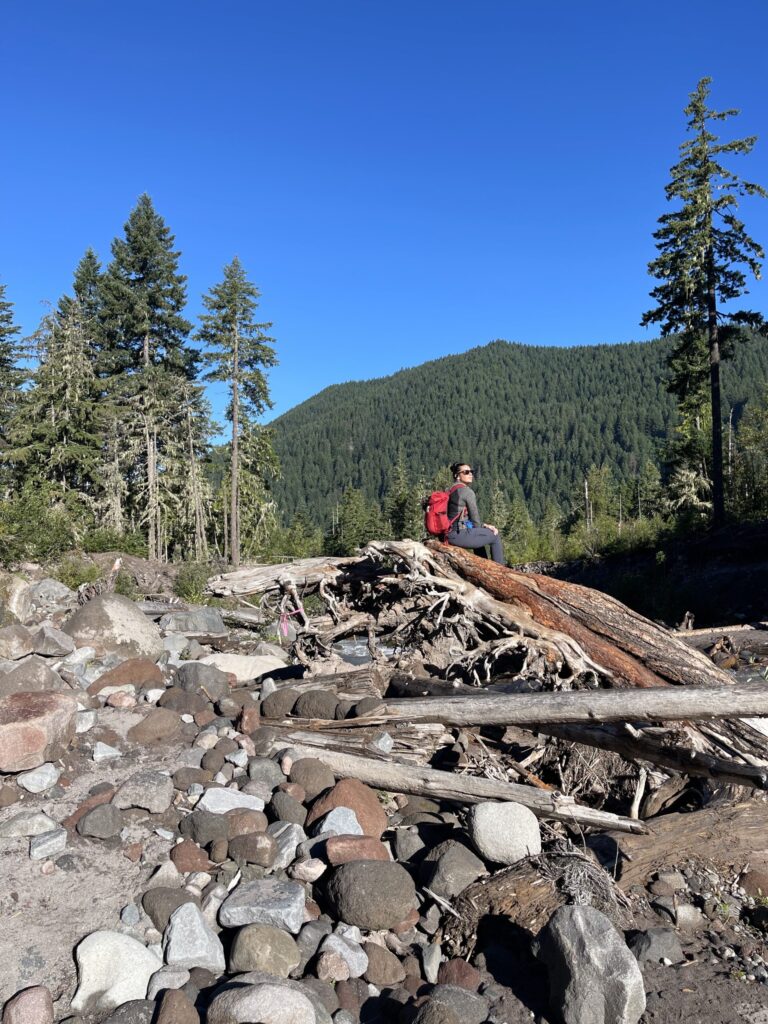
The sun rising over the Columbia River Gorge, as seen from a stretch of Dog Mountain Trail.
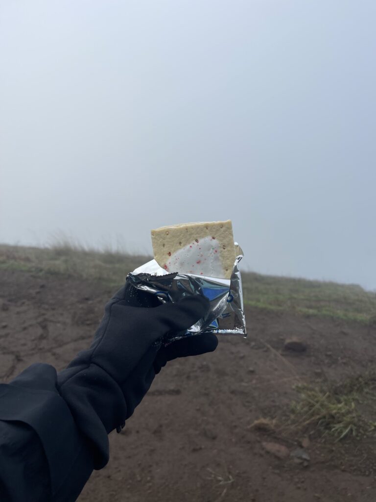
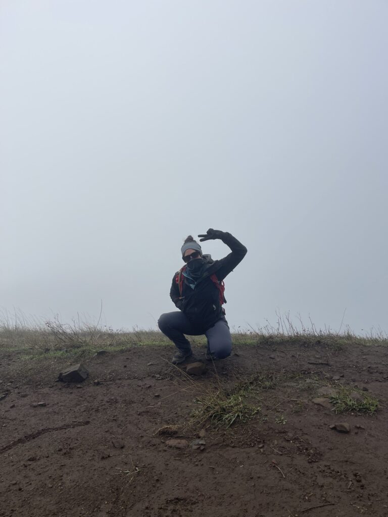
I summited shortly before 9:00 am, just less than two hours after I began. It was so cold and windy and foggy up there! While waiting for the clouds to clear, I celebrated with my favorite summit snack: a pack of strawberry frosted Pop-Tarts.

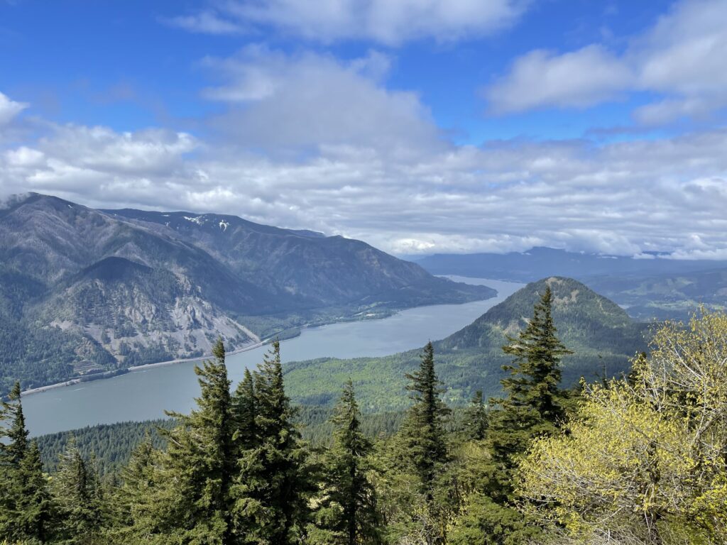
For reference, here’s the view from the same spot pictured above when it’s not obscured by clouds/fog. (I took this photo back in May 2022.)

View of the Columbia River Gorge from the summit of Dog Mountain on a partly cloudy day in May 2022.

I will never not be charmed and in awe when one section of sky looks so totally different from another. I wish my phone camera captured how magical it felt up there.

Do you see that small, shiny area in the bottom left of the clip? That’s the trail!

I’m glad I stuck around till the sky cleared. A snow-covered Mount St. Helens was visible in the distance—and was much more striking in person than it is in this photo.

A perfectly clear and bright blue sky, and a snow-covered Mount St. Helens in the far distance, as seen from the summit of Dog Mountain.

I spent a little over an hour at the summit, which is for sure a record for me. Usually, I stick around just long enough to get a few photos, refuel, and rehydrate, and then I’m on my way. On this day, I took a little more time.

Late-morning view of the Columbia River through trees near the beginning of Dog Mountain Trail. The sun is shining above low-lying clouds.

Overall, a decent hike. Sure, it took much more of my day than I anticipated it would (partly because I spent so much time at the summit, and partly because of the needing-to-pee and slightly-too-long-toenails situations), and it felt WAY worse to me than did Mount Defiance during the summer, which sucked. It’s also true that it was about as perfect weather as you could ask for during fall in the Gorge, and the scenery was beautiful. I’m glad I went. I’d love to see it—even just once—during peak wildflower season. Maybe this’ll be the year.

The Portland Movie Theater Project

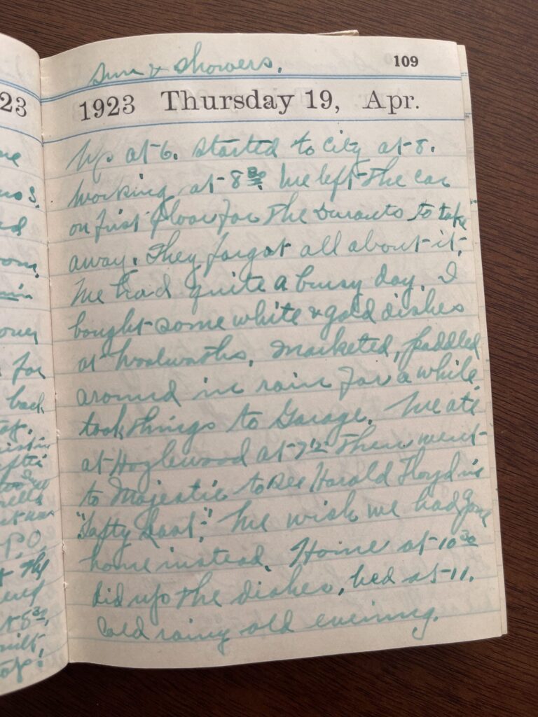
Last November, I, a person who is not at all a movie person, not even in the slightest, decided that over the next year-ish, I’d watch one movie in each of Portland’s historic or independently owned movie theaters. The idea was inspired by the hundred-year-old diary I found at an antique market a few years ago. In it, the diarist recorded her daily life, including the movies she and her husband went to see. She recorded 18 movies in the diary and included a very short review for nine of them, sometimes as short as a single word (“Fine.”), never longer than a sentence (“We wished we had gone home instead.”).

Page from a diary from 1923. The relevant portion is quoted in the photo's caption.
Movie review from the bottom portion of the page reads, “We ate at Hazlewood [sic] at 7:15 [pm] then went to Majestic to see Harold Floyd in “Safety Last!” We wish we had gone home instead.”

My original plan was to watch each of the 18 movies recorded in the diary. I thought it could be a fun way to connect to and learn about both the past in general and the diarist’s life specifically, and a low-stakes attempt to do something outside of my usual creative box. I looked up each title on IMDB and Wikipedia and very quickly learned that all of the movies the diarist and her husband watched in 1923 were silent films (the first movie with synchronized sound didn’t release until three years later), which: no thank you!!! I’m not a regular, modern-day movie person. I’m absolutely not a silent movie person. Nevertheless.

In the process of trying to figure out how I’d approach this project, I poked around the Oregon Theater Project website to see if any of the theaters the diarist and her husband visited were still standing and/or operational (no), and I walked over to my neighborhood video rental store to see if they (1) had any of the titles for rent (yes), (2) had DVD or VCR players for rent so I could actually watch any of the titles I might rent (I forgot to ask), and (3) had any information or advice about how to watch a silent movie (no)—or where to find the music that would have accompanied each title when it was screened for live audiences (no) so that I could play the same soundtrack while watching the movies at home; or whether any local movie theaters screened silent films with live musical performances (not to their knowledge).

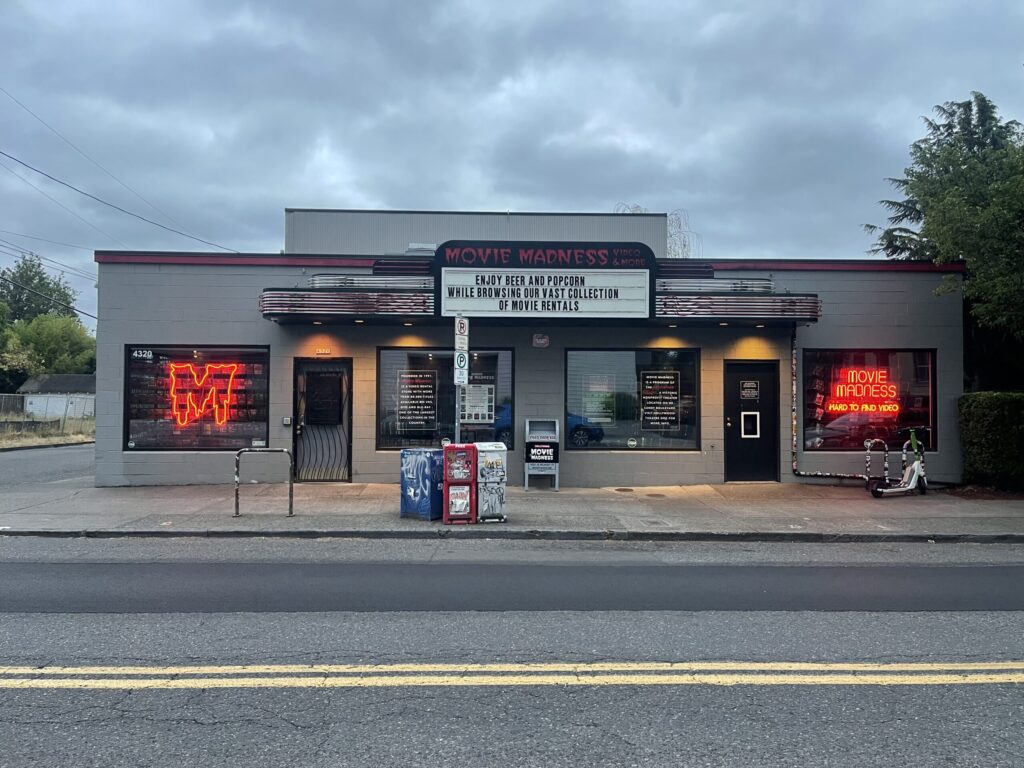
The front of Portland's last-standing and much-loved VHS and DVD rental store, Movie Madness.

Pretty quickly I knew that following through with this approach was more effort than I was willing to put forth. The juice, as they say, would not be worth the squeeze. So I decided instead to watch a movie at each of Portland’s historic or independently owned movie theaters, and I gave myself until the end of 2025 to do so. Close enough in spirit, and a much more manageable endeavor.

I ended up with 16 theaters on my list. (Some people will not consider some of these theaters to be independently owned. I wasn’t super strict with my definition—basically, any movie theater that (1) isn’t a big-box, brand name theater (AMC, Cinemark, Regal, etc.) and (2) is in the city went on my list.). To date, I’ve visited 11 of them, in the following order:

There are five theaters I definitely won’t be visiting, as they cater to an audience that I’m not part of and/or their earliest showtimes are too late in the day for me (my hyperactive autistic brain has a very early bedtime):

For all intents and purposes, I consider this project complete.

*

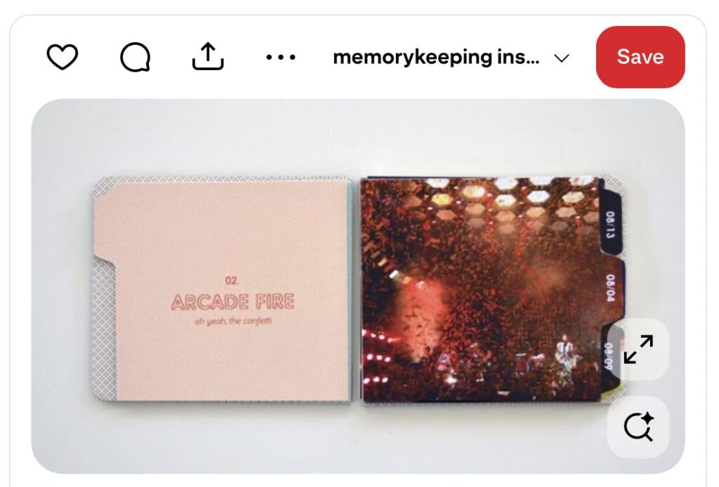
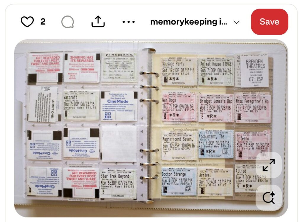
When I first started this project, I planned to make a very simple mini album documenting it, inspired by Jamaica’s “see it live” mini album and her practice of saving movie ticket stubs.

Screenshot from Pinterest of a mini album documenting the concerts attended by memorykeeper Jamaica.
Source
Screenshot from Pinterest of a ticket stubs collected by memorykeeper Jamaica.
Source

I envisioned including a full-bleed photo of each movie’s title screen (or, alternately, each theater’s marquee) on one side of a spread and colored or patterned paper and the movie ticket stub on the other—or, like Jamaica did here, affixing the ticket stub to a sheet of transparency over the photo of the movie’s title screen (or the theater’s marquee).

Screenshot from Pinterest of a mini album by memorykeeper Jamaica.
Source
Screenshot from Pinterest of a mini album by memorykeeper Jamaica.
Source

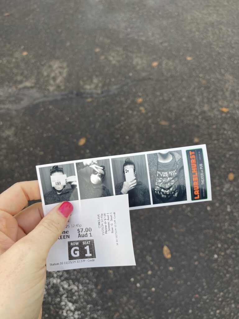
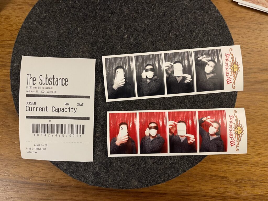
Going into this project, I was also hopeful that more theaters would have photo booths, and that I’d be able to incorporate the photo strips into a potential mini album. Alas, only two of the theaters I visited have photo booths—Laurelhurst Theater and Kennedy School Theater—and neither of them are film, neither of them produce strips in the traditional/expected orientation, and they’re both branded. Sad! (I do appreciate that both photo booths are reasonably priced ($6.00 card, $5.00 cash) and both give you two strips with the same frames, though I don’t like that one strip is color.)

Photo booth strip and movie ticket stub from Laurelhurt Theater, where I saw "Conclave."
Photo booth strip and movie ticket stub from Kennedy School Theater, where I saw "The Substance."

At this point, I don’t plan to make a mini album documenting this project. Uniformity is important to me in a memorykeeping project like this. If I were to make a mini album documenting this endeavor, I’d want for every spread to follow the same formula. That’s not possible here because I don’t have a title screen photo for each movie, I don’t have a photo of each theater’s marquee (some theaters don’t even have a marquee), I don’t want to use a movie poster for each movie, and the movie ticket stubs (“ticket stubs”) are, frankly, pathetic (I will never shut up about the decline and disappearance of well-designed, quality-crafted physical ephemera). Also—I’m sorry!—movies just aren’t that important to me. I don’t feel compelled to document this project beyond this blog post, and I don’t want to spend more time or other resources on it.

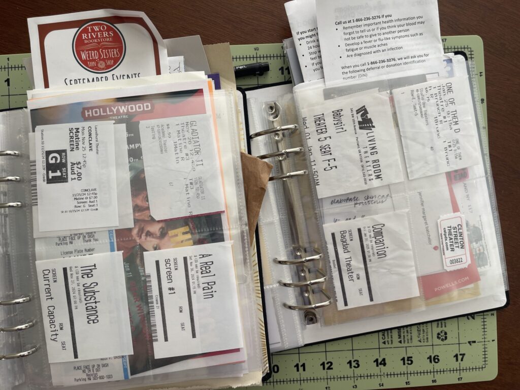
Ticket "stubs" from the movies I saw as part of this project, each in its own 3-inch by 4-inch pocket in a 6-inch by 8-inch page protector.

My primary takeaway from this project: more than not being a movie person, I’m not a going-to-the-movies person.

At the movies, there’s too much simultaneous sensory stimuli for my brain to handle. Things that other people can ignore, or that other people don’t even notice, command all of my attention (autistic brains don’t habituate to sensory input the way that non-autistic brains do; we are constantly taking in everything around us, which is why we become so overstimulated so easily and so often). Things like temperature; the volume and complexity of on- and off-screen noises; off-screen movement, which is especially disruptive in theaters that have seat-side food/drink service during the movie; smells—of food, of people, of the facility; and, as in one theater I visited (not pictured), visual clutter (T.G.I. Friday’s-style flair all over the walls, including above and on either side of the screen).

All of these things make it very difficult for me to actually take in the movie: my brain is too overwhelmed by all of the other sensory input it’s inundated with, and I’m too focused on not having an autistic meltdown in public. And that’s before factoring in the whole host of other health issues I have that make existing in public inconvenient, uncomfortable, stressful, etc.!

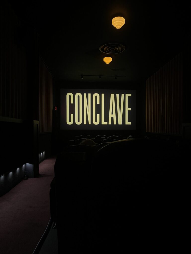
Title screen of "Conclave" as seen from the very back of the theater at Laurelhurst Theater in Portland, OR.

Do I regret doing this project? Do I feel like it was a waste of time or money? No. I got in a lot of good walks, I saw some parts of Portland I don’t spend much time in, I learned about two photo booths that weren’t previously on my radar (always a win, even when they’re not film), and I learned something important about myself—I learned why I don’t enjoy going to the movies. Having clarity about any aspect of yourself is always helpful.

Will this new knowledge about myself stop me from going to see the Michael Jackson biopic in a theater on release day? Absolutely not. Michael was my first-ever autistic hyperfocus, which first formed in the early 90s with “Will You Be There” and further developed upon my mom playing the first record she ever owned for me one evening—the Jackson 5’s ABC. By then, I was eight or nine years old, the same age she’d been when the record was released. I will use all of my spoons and every last drop of my sensory and social batteries to experience this movie in person, among like-minded fans.

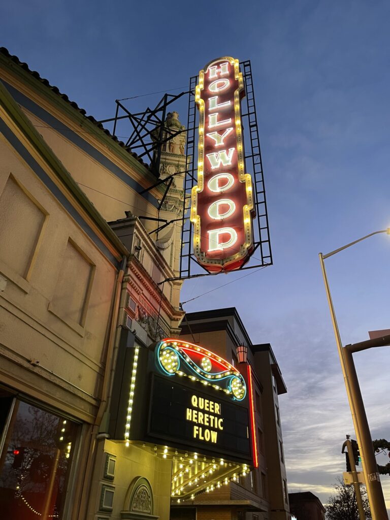
The iconic Hollywood Theater marquee in Portland, OR, advertising then-current showings of the movies "Queer," "Heretic," and "Flow."

Best marquee: Hollywood Theater. For sure the most iconic movie theater marquee in Portland, and one of the most well-known alongside that of the Arlene Schnitzer Concert Hall.

Coolest campus: Kennedy School Theater. I wish I’d had more time to explore this place when I was there. (I haven’t gone back to explore it because I have no reason to return other than to explore it and returning only to explore it isn’t worth the spoons for me right now.)

Favorite title sequence: Gladiator II. My relief when it was confirmed it wasn’t made by AI.

Movie I most enjoyed watching: Conclave. Visually stunning.

Theaters I’m most likely to watch another movie at (if I continue to go to the movies after this project): Bagdad Theater (below) or Laurelhurst Theater. Bagdad is enormous, which means it’s very unlikely I’d ever be seated near anyone else; I like that it has balcony seating; overall it’s just a vibe; and it’s close enough to my apartment. Laurelhurst is the closest of the two theaters with a photo booth, and also I love their light fixtures (see two photos above).

Movie screen at Bagdad Theater in Portland, OR, displaying the title of the movie "Companion," as seen from the balcony.

Total cost of the project: $91.50, which is less than I thought I’d spend. To be fair, 10 of the 11 movies I went to were matinees; I didn’t buy any concessions at any movie; I purchased 10 of my 11 tickets in person, which was at least $1.00 cheaper per ticket than buying online; and I either walked to or parked in free zones for 10 of the 11 movies.

*

For the curious, here are the movies the diarist recorded in her diary in 1923, listed in the order she and her husband saw them. Titles are linked to their IMDB page. A review, if offered, is in parentheses.

Hiking Wrapped: Summer 2025

After a nearly three-year-long, mental-illness-induced hiatus, this summer I finally got my slightly more mentally stable ass back out on the trail. Huzzah!

Too-close selfie of me near the end of Mount Defiance and Starvation Ridge, with the Columbia River in the background.
Toward the tail end of Mount Defiance and Starvation Ridge, crying on the inside, wanting so badly to be done.

To celebrate, I thought it’d be fun to do a “hiking wrapped” for the season.

Number of trails hiked: Six.

Total distance hiked: At least 56.6 miles (91 kilometers). Due to an egregious glitch in the AllTrails app, I have no idea how far I actually hiked when I hiked Mount Defiance and Starvation Ridge. The general consensus is the trail is at least 12.1 miles (19.4 kilometers), so that’s the distance I’ve gone with here.

Shortest trail: Angel’s Rest – 4.6 miles (7.4 kilometers).

Longest trail: Lower Punchbowl, Tunnel, and Twister Falls – 13.4 miles (21.5 kilometers).

Average trail distance: 9.4 miles (15.1 kilometers).

Total elevation gain: 13,477 feet (4,108 meters).

Least elevation gain: Oxbow Loop – 633 feet (193 meters).

Most elevation gain: Mount Defiance and Starvation Ridge – 5,984 feet (1,824 meters), at the god-awful rate of 1,000 feet per mile (20% grade) for at least five straight miles.

Average elevation gain: 2,246 feet (684.5 meters).

Total hike time: 24 hours, 5 minutes.

Average hike time: 4 hours, 1 minute.

Slowest pace: Mount Defiance and Starvation Ridge – 34:43 per mile (21:34 per kilometer).

Fastest pace: Oxbow Loop – 20:07 per mile (12:30 per kilometer).

Average pace: 22:30 per mile (15:46 per kilometer).

Best views: Tom Dick and Harry Mountain.

Most strenuous hike: Mount Defiance and Starvation Ridge.

Most memorable hike: Lower Punchbowl, Tunnel, and Twister Falls. Of all the hikes I went on this summer, this is the one most similar to the hike that spiraled me into acute mental illness in 2022 (it was the hike with the most exposure and the narrowest sections of (exposed) trail), and I got through it on my own without incident. Shout out to my brain and nervous system.

(I think I did the imperial-to-metric conversions correctly? Sorry if not! (I’m not the math-y type of autistic).)

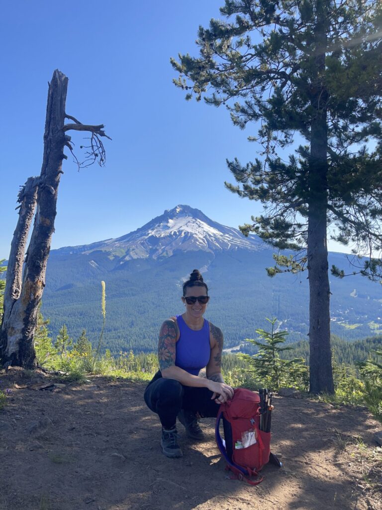
Me, crouched down low at the summit of Tom Dick and Harry, Mount Hood in the background.
At the summit of Tom Dick and Harry Mountain, with Mount Hood in the background.

Other takeaways

Knee sleeves. After reading so many reviews and trip reports about how steep the trail is, and knowing how janky and cranky my knees are on level ground, I wore my knee sleeves (a lifting accessory) for the first time ever during a hike while hiking Mount Defiance and Starvation Ridge. Complete game-changer. I will never hike without them again, especially on steeper trails, and I can’t believe it took me this long to even think to wear them on the trail. I highly recommend investing in a pair if you find yourself hiking trails that aren’t compatible with your knees with any sort of regularity. The two main brands are Rehband (the brand I wear) and SBD.

Trekking poles. This summer taught me that along with knee sleeves, trekking poles are a middle-aged hiker’s best friend. It’s pretty incredible how big of a help they can be, especially during steep descents. I’m glad I invested in a pair when I had the money to do so. I would’ve been so fucked without them this summer.

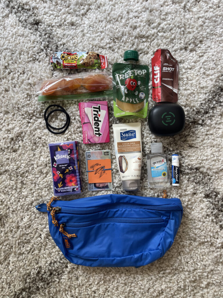
Fanny pack. Another new day hike staple. I got real sick of having to stop and take off my backpack and dig through the top pouch every time I wanted to grab my phone to take a photo, or when I needed chapstick or a tissue or a new piece of gum or a small snack or a hair tie or whatever. So I took my ass to REI and bought a fanny pack (the exact one I bought was on clearance and is no longer listed on their website, sorry!). Another game-changer. Like knee sleeves, I can’t believe it took me so long to add this item to my gear.

My bright blue REI fanny pack, with bright orange accents, laid out on a rug alongside the items I keep inside it for easy and quick access while hiking—small snacks, hair ties, gum, Kleenex, hand lotion, hand sanitizer, chapstick, earbuds charging case, ID.

Maps, music, and podcasts. Downloading every piece of media there’s even the slightest chance I’ll need (or want) while on the trail—or during the very likely scenario of driving stretches of road that don’t have service—the night before my hike is the move. Trail maps, directions to/from trailhead, music and/or podcasts to listen to, etc.

Earbuds v. AirPods. If you’re going to listen to anything while hiking, I highly recommend wearing earbuds that loop around your ear v. AirPods. Like these. For safety’s sake, I wear only one of them and when I have something playing, I keep the volume pretty low. I think the volume on the ESCs is easier to control than it is on AirPods, the audio quality is better, the battery lasts longer, and there’s much less risk of them falling out of your ear and then you falling off a cliff while reaching after them.

Granola. The good news is, I recently discovered not all granola is gross. The bad news is, I learned this months too late for my summer hiking season. The other good news is, now I know and have another compact trail snack option for my next hiking season.

Early bird gets all the cobwebs. The biggest downside to being the first hiker on the trail for the day is you take all the cobwebs straight to the face. The best solution: waving one of your trekking poles in front of you as you hike.

Carbs. The best part of any strenuous hike is the carb-loading I get to do in the day or two leading up to it and again immediately afterward.

Experience/d. I have experience hiking. I’m not an experienced hiker. There’s a difference, and it’s important. There’s a lot I have yet to encounter; there’s a lot I have yet to learn. In many ways, I’m very prepared, even over-prepared, every time I step on a trail. In many other, equally important ways, I’m just as under- or unprepared.

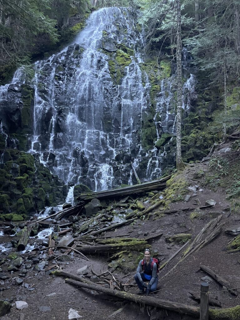
Me, tiny, crouching in front of Ramona Falls, an enormous fan waterfall in the Mount Hood National Forest.
Ramona Falls, Mount Hood National Forest.

Parting thoughts

My original plan was to hike once a week through at least September, ideally October. By mid-August, some health issues (not mental illness) began flaring and I had to take a break. I’ve not hiked since. I’m frustrated I got in only six hikes this summer, and I’m happy I got in six entire hikes this summer—it’s six more than last summer, and the summer before that.

Finally, and most importantly, my biggest takeaway from my time on the trail this summer: I wish I’d known when I was 17 what the Pacific Crest Trail and section- and thru-hiking were—I think I would’ve found on the trail what I spent too many years unsuccessfully searching for in other (wrong) places.

Hiking Ramona Falls

Hike number six of the season, which was also my final hike of the summer: Ramona Falls Loop, a seven-mile loop along the Pacific Crest Trail in Mount Hood National Forest, about an hour outside of Portland.

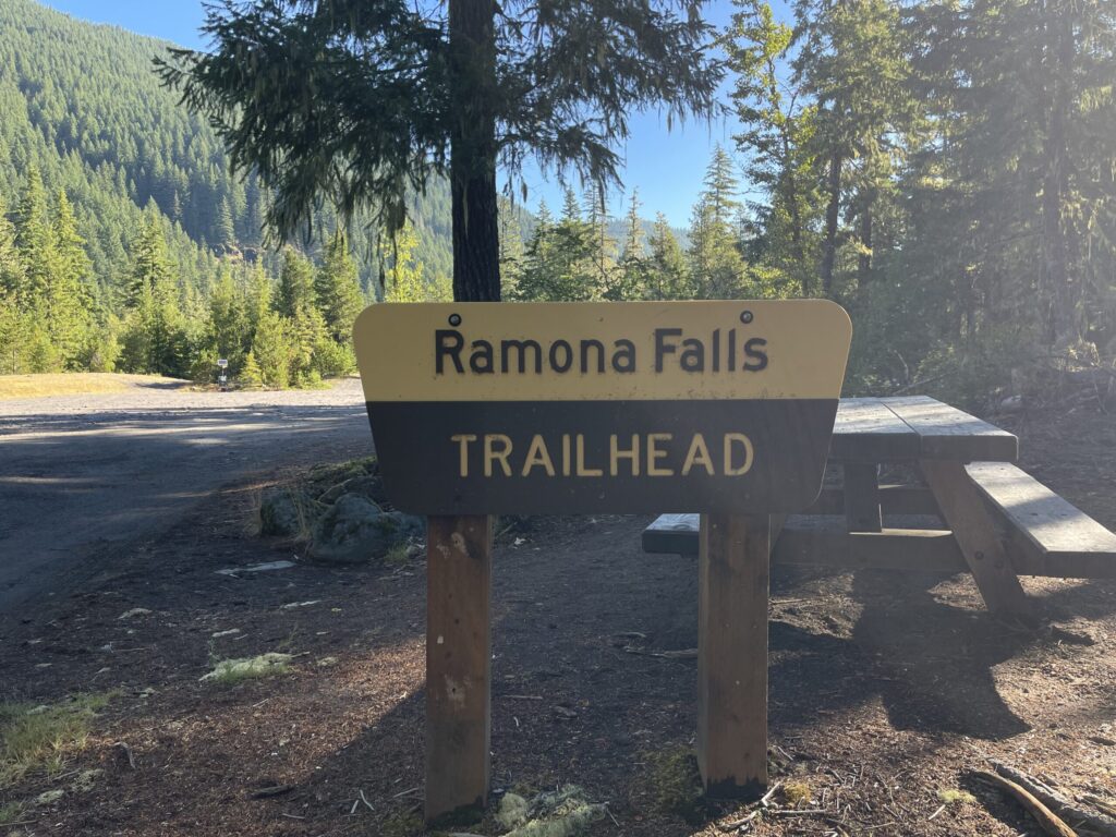
A National Forest sign that reads, "Ramona Falls Trailhead" at the entrance to the enormous Ramona Falls trailhead parking lot.

This trail is fairly flat—there’s only about a thousand feet of elevation gain overall—and therefore very dog- and kid-friendly (dogs must be leashed). I saw a handful of families with children of various ages camping in the backcountry, including one family with younger kids (they looked to be early elementary school age) on a multi-day backpacking trip.

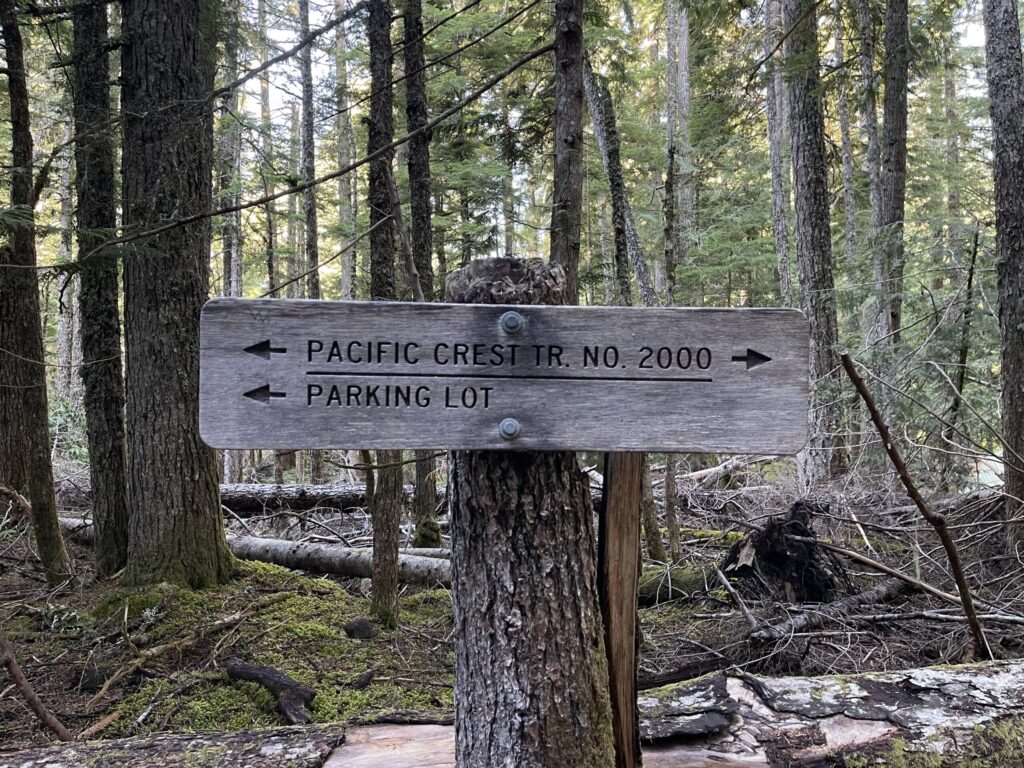
A sign in the forest along the trail noting which directions the Pacific Crest Trail run, and which way to go to get back to the parking lot.

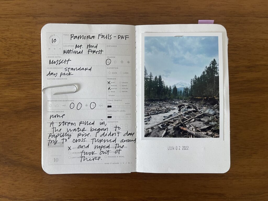
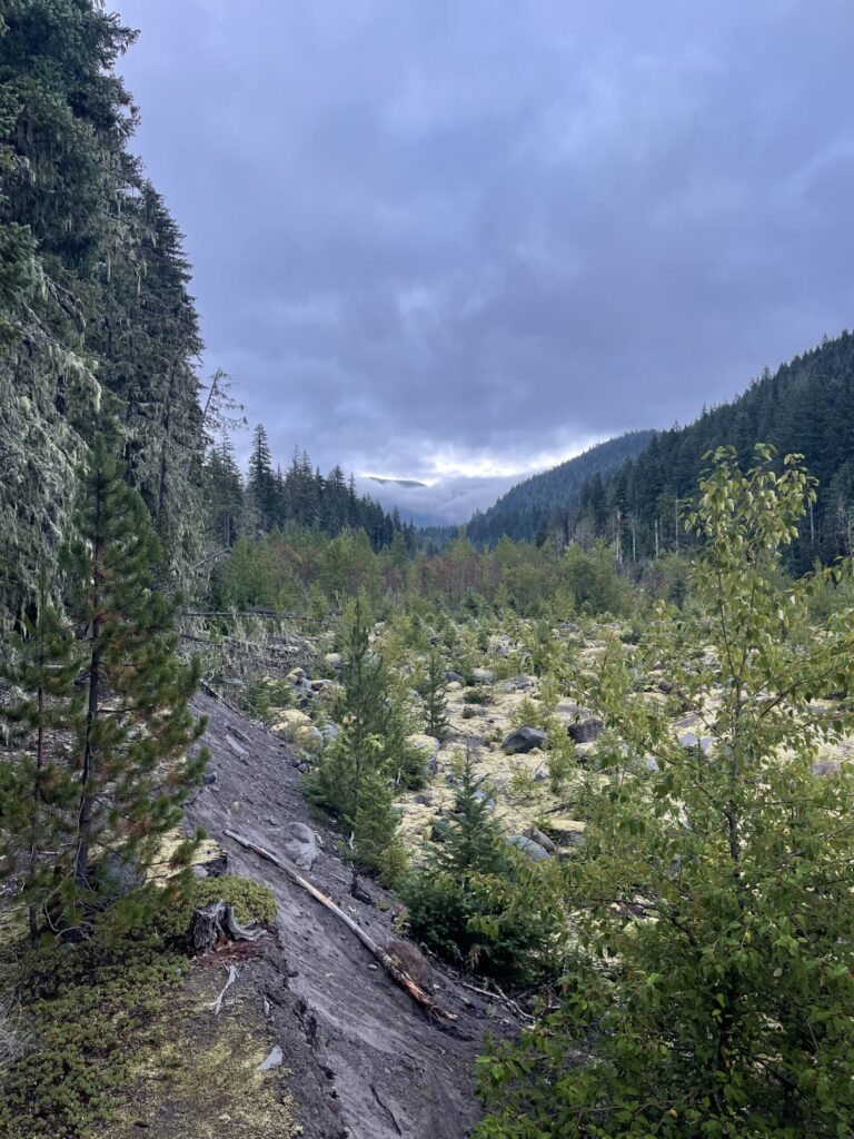
I first attempted this hike in early June 2022. I went much later in the day than usual and right as I approached the river crossing it began sleeting and then snowing, which I, an unseasoned Oregon hiker at the time, didn’t expect so close to the start of summer. The river was flowing much faster than I expected, and the water was freezing. Combined with the surprise weather, being out there on my own, and my naturally extremely anxious and catastrophizing brain, I was too nervous to attempt the river crossing. I turned around and walked the mile back to my car.

My Letterfolk Hike Passport, open to the spread documenting my first, unfinished attempt at Ramona Falls in June 2022.

This time, I went much earlier in the day and much later in the season, crossed the river just fine both times, and finally finished this hike.

Like many Oregon summer mornings, it was overcast when I began (shortly after 5:30 am).

Overcast skies just beginning to barely break over Mount Hood (hidden by the clouds).

And like many Oregon summer mornings, less than two hours later, the sky was completely clear and the sun hung high.

A completely clear and bright blue sky.

Most of this hike is through tree canopy, some of it very thick overhead, which is a blessing on clear, hot day. There are only a few short stretches where you’re directly exposed to the sun. Because I went counterclockwise, I hit most of these stretches at the end of my hike. If you go clockwise, you’ll hit these stretches at the start of your hike; or, if you begin early enough on an overcast day, you’ll avoid most of them altogether. I recommend going counterclockwise; it provides a much more dramatic first visual of the falls.

Per usual, in the days leading up to this hike, I checked the trail’s AllTrails page for new reviews/comments. There was a single one that mentioned how enormous the falls are in person; how photos don’t clearly convey the size of the thing. Reader, that hiker was correct. This thing is massive. Look how tiny I am in comparison!

Me, from behind, looking up at the enormous Ramona Falls waterfall.

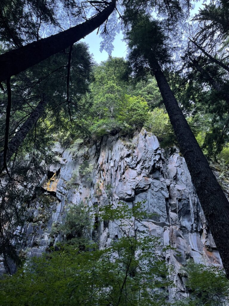
There are several spots to camp next to and just beyond (or, if you’re going clockwise, just before) the falls. Also just beyond (or, if you’re going clockwise, just before) the falls: incredibly beautiful cliff faces of rusty orange and milky blue and grey rock (?).

Looking up the very high cliff faces.

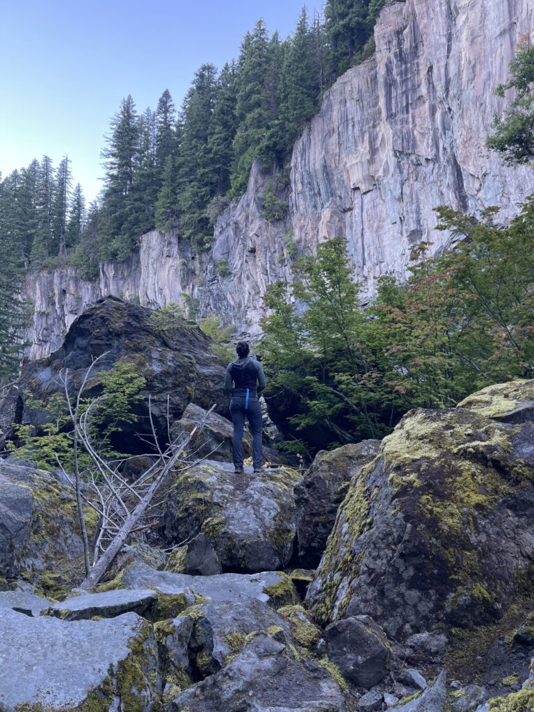
These cliff faces were enormous. They looked so slick and smooth and sharp and, with the sun rising overhead, they appeared at times to glimmer and glow. There was nothing about these cliff faces in any of the AllTrails comments/reviews I read. Coming upon them was a very unexpected surprise, and a much better unexpected surprise than sleet and snow and a rising, raging river.

Me, standing on boulders and looking at the huge cliff faces.

I wish I’d been able to better capture their beauty with my iPhone camera.

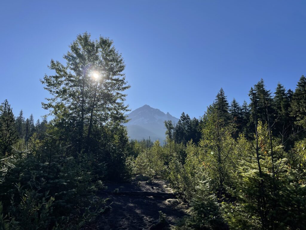
By the time I hit the river crossing on my return, the day was fully awake. Unfortunately, the sun rising over Mount Hood made it impossible to get a photo of the mountain in which it didn’t look completely washed-out.

Mount Hood, washed out by the sun rising overhead.

It was still early when I hit the river crossing on my way back—a few minutes after 8:00 am. I wasn’t ready to leave yet. The sun felt so nice, the scenery was so beautiful, and no one else was out there. So, I set up on some wide, sturdy logs, and spent some (more) time taking it all in.

Me, sitting on logs in the river, facing the sun.

This hike is fully in the backcountry. As such, there’s no cell service beginning about four miles before the trailhead. If you attempt this hike, make sure you’re prepared for the water crossing and for being completely out of cell service range; check recent reports about trail and river conditions in the days leading up to your hike. Download your trail map and any music or podcasts you plan to listen to on the trail before you leave home. You’ll be able to easily navigate back to the main road without GPS—there’s plenty of clear signage, and most of the time, there’s only one way you can go.

The parking lot is huge. It could easily fit probably a couple hundred vehicles. Both times I’ve been here, there’s been at least one porta-pottty; best to come equipped with your own toilet paper. The road leading to the trailhead is single-lane in some stretches and has some pretty gnarly potholes, though there are significantly fewer of them, and they’re much less gnarly, now than in 2022. Pay attention and, if you, like me, don’t have a rugged outdoor vehicle, maybe go a little slower than you think you need to. What a bitch it would be to pop a tire out there on a narrow-ass road several miles from cell service.

Hiking Mount Defiance and Starvation Ridge

Hike number five of the season: Mount Defiance and Starvation Ridge, a 14-ish mile loop from, or maybe through?, hell. I hiked the loop counterclockwise. Having completed it this way, I can’t imagine doing it the other way. The descent would be even more of a nightmare on cranky/janky knees, and I think it would’ve felt even more than it already did like there was no end in sight.

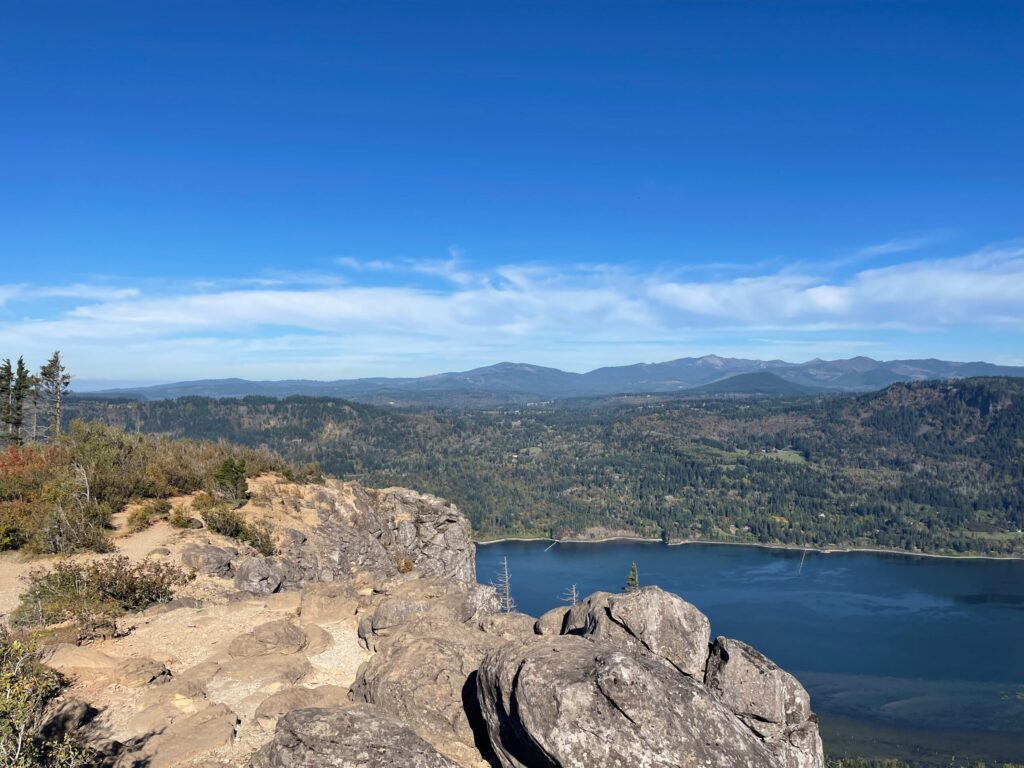
View of Mount Hood from the summit of Mount Defiance.

With 5,000 feet of elevation gain in 5 miles, Mount Defiance is said by some to be one of Oregon’s hardest hikes. It’s the highest point in the Gorge, and many mountaineers use it as a training hike in preparation for climbing Mount Hood, which is visible from the summit on a clear day (above).

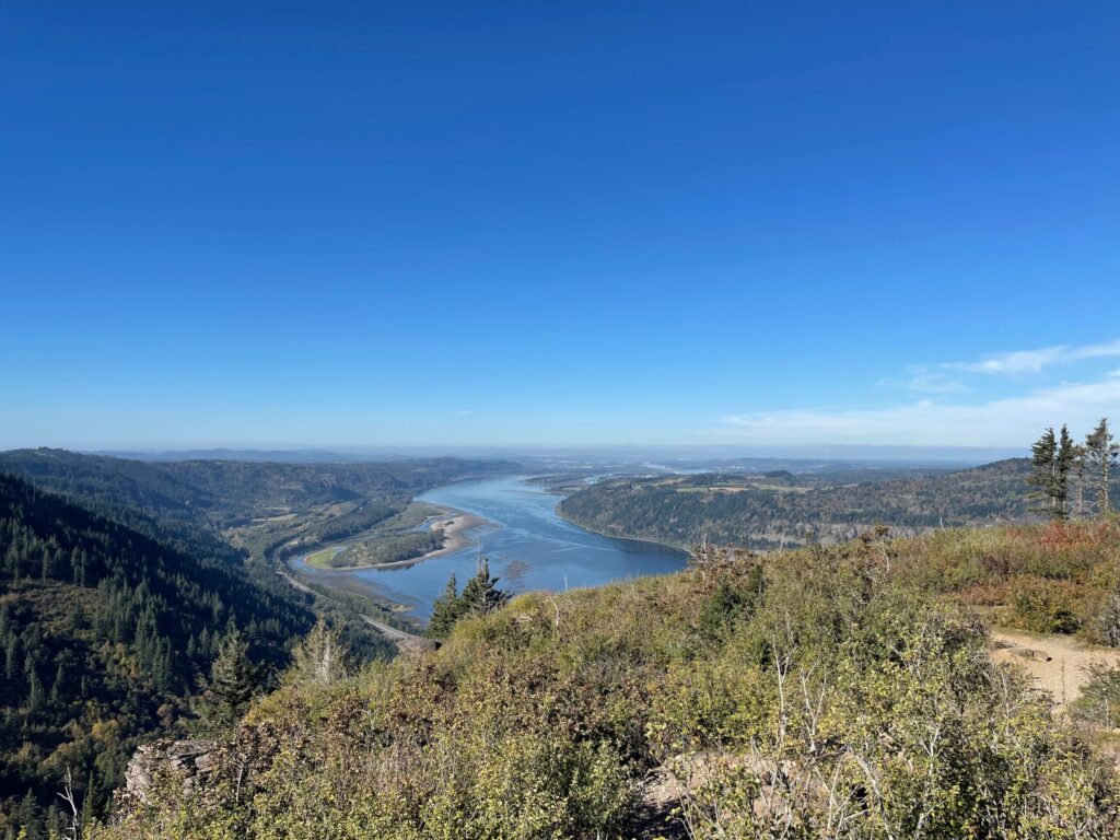
View from the false summit of Mount Defiance of rolling hills covered in trees.

This hike is a slog. There is absolutely no reason to do it if you’re not (A) training for something (physical, mental, or both), or (B) a masochist (me). It’s not particularly scenic and for most people the few views you do get aren’t worth the work you have to put in to earn them. There are far more enjoyable hikes with much better views. For example: Tom Dick and Harry.

The hike starts regular enough. The first stretch is a paved path along the highway. Once you enter the trees, you pass by a few waterfalls and then you’re on your way.

About a mile in, you hit a junction: switchback to take Starvation Ridge Trail clockwise, forge ahead to take Mount Defiance Trail counterclockwise. I went counterclockwise.

About a mile later I broke out my poles, and about another mile after that I pulled up my knee sleeves. Knee sleeves are a lifting accessory. We lifters wear them to support our knees—to keep them warm, reduce inflammation and pain, and improve stability. You’ll often see barbell athletes wearing them during movements like squats and lunges. This hike is the first time I wore my knee sleeves on the trail; it’s the first time I thought to. So many of the reviews talked about how brutal the ascents and descents on this trail are, and I know my knees: they’re not the most agreeable! And you know what? Total game changer. I can’t believe I didn’t think to add knee sleeves to my hiking gear before now.

Morning sun over trees and plants on the steep hillside near the beginning of the trail.

To be frank, I couldn’t tell you what most of the ascent looked like. Compared to my usual trail behavior, and despite what this photo-heavy post suggests, I rarely stopped to look around or take photos. I mostly kept my head down, my eyes forward, and my feet moving. I knew that if I stopped too frequently or for too long I’d have a hard time getting going again. As a beloved animated fish once famously said, just keep swimming.

A sea of large rocks on the mountainside.
Burnt tree trunks and blooming small purple wildflowers.
The narrow, overgrown path cutting its way through trees and bushes.

Several miles in, I hit the false summit, which is still forever from the actual summit. On a clear day, Mounts St. Helens, Rainer, and Adams are visible in the distance.

Views of Mounts St. Helens, Rainer, and Adams in the distance.
Steep, rocky mountainside at the false summit.

Exactly four hours in, I hit the summit. I hung out there for 15 minutes, refueling with electrolytes, Pop-Tarts, dried fruit, and applesauce pouches. The view of Mount Hood from here is fine enough. The one from Tom Dick and Harry is much better.

View of Mount Hood from the summit of Mount Defiance.

There’s also the eyesore of the telecommunications equipment at the top of Mount Defiance, which is enormous and, unlike the small setup of equipment at the summit of Tom Dick and Harry, absolutely does detract from the experience. When you reach the summit, you see the equipment before you see Hood. You have to walk around it before you can see the mountain.

Large telecommunication equipment at the summit of Mount Defiance.

On the way back down, I took Starvation Ridge Trail at the junction, which I hit about 20 minutes after leaving the summit. Much of the first portion of Starvation Ride Trail is, thank god, flatter than Mount Defiance Trail.

A clear lake surrounded by tall pine trees.

And then: it’s not. After an initial reprieve, the descent begins and basically doesn’t stop until it turns into another ascent toward the end of the loop. For much of these portions of trail, I hiked over either loose rocks or loose dirt. These stretches required full attention and careful foot/trekking pole placement to not slip/fall. Again, during these prolonged sections of trail, I didn’t take as many photos as I usually do because I was focused on keeping my head down, my eyes forward, and my feet moving without slipping/falling.

A very rocky portion of trail descending via Starvation Ridge.

The final 3-ish miles were miserable, mostly because it was 80 goddamn degrees in late July and there was very little to no shade, and there was a stretch that went back up hill. For those miles, I hated my life, my choices, and myself. I could not wait to be finished and regretted having ever started. Being able to see the highway and hear signs of life and knowing I was so fucking close made it even worse. I wanted to be done so bad!

Selfie with just a few miles to go. The Columbia River and Interstate 84 are visible in the background.

I have no clue how long this hike actual was in terms of distance. AllTrails is never particularly accurate. In this instance, it was egregiously inaccurate. According to the app’s calculations, I hiked almost 20 very steep miles in a mere seven hours. If that were true, I would’ve been hiking a mile with 1,000 feet of elevation gain faster than many people can run a mile on flat ground. Which: yeah, right! I’m fit. I’m not that fit.

Gloriously, after seven hours to the minute of hiking, I finished. When I reached my car, I immediately took off my boots, socks, and pants (I wore Nike shorties underneath), grabbed the refuel snacks I brought (pizza, fruit, high-protein Greek yogurt, chips, electrolytes), popped my trunk, and chowed the fuck down and chilled the fuck out for a bit before driving home. I always bring a lunch box of snacks for after my hikes. This was the first time I actually finished everything I brought.

Me, post-hike, sitting in the trunk of my vehicle with a container of fresh fruit and cold pizza in my lap.

If you’re going to attempt this hike, I highly recommend eating a breakfast of complex carbs (can’t go wrong with oatmeal), bringing more water and electrolytes than you think you’ll need (I brought three liters of water and two 16.9-ounce bottles of electrolytes and had half a liter and no electrolytes left at the end), carrying a healthy dose of carb-heavy snacks (simple and complex) to eat along the way, and packing food, water, and electrolytes for afterward.

Trekking poles are a must for this hike. If you have wonky ankles, you’ll want a shoe or boot with a higher, sturdier top. If you have cranky/janky knees, I suggest wearing lifting knee sleeves. I like (and wear) Rehbands. SBDs are another popular choice. They’re not cheap. They are worth it, especially if you frequently find yourself hiking trails that aren’t compatible with your knees.

A rock on the trail with HIKE ON STAY WILD! scratched into it.

My favorite parts of this hike were carb loading in the days leading up to it, and taking myself to Oxbow after the gym the next morning to hangout in the sun eating more pizza and fresh fruit while reading my library book (The Seven Husbands of Evelyn Hugo), as a little treat.

Me in a bikini on the sandy bank of the Sandy River, waving at the camera, which is on the other side of the river.
Me, reading a book in the sand by the river.

My official review of this hike: Type 2.75 Fun. Could’ve been an early, Ranch-era CrossFit Games workout.

Would I do it again? If you’d asked me in the days right after, I would’ve said, “Immediately no.” If you asked me now, I’d tell you, “Maybe.”

Hiking Oxbow Loop

Hike number four of the season: Oxbow Loop. I’m gonna be real with y’all. This trail is—no pun intended—basically just a walk in the park. A very confusingly marked walk in the park that doesn’t really feel like a hike at any point during its seven-ish miles.

The Sandy River seen through trees lit up by the early morning sun.

The loop snakes alongside the Sandy River and, despite how it appears on AllTrails (as one clearly defined, looping trail), it’s comprised of several smaller, interconnected trails that are individually labeled by letter on the park’s map (paper copies are available at the board outside of the visitor center).

A dirt hiking path leading through trees at Oxbow Park.

Because of this discrepancy, and because I had very unreliable cell service and couldn’t easily pull up the map on AllTrails, it took me about 35 minutes to just pick a letter/trail, start walking, and hope I was on the right path. Thankfully, the trailhead I chose (C) gave me one single bar of service long enough for the AllTrails map to load and confirm I was indeed on the right path.

My hand holding a map of the hiking trails at Oxbow Regional Park next to a trail marker labeled "C"

I deviated from this trail much more than I usually do during a hike so I could scout out secluded spots to set up in the sun afterward. The promise of finally getting to touch water for actual real after the tease of Lower Punchbowl Falls is the entire reason I did this hike.

One section of rocky beach alongside the Sandy River, a bright blue sky overhead.

AND GUESS FUCKING WHAT. I FINALLY GOT TO TOUCH WATER FOR ACTUAL REAL!!!

Me, in a bikini, sitting under the sun in a shallow section of the Sandy River. My back is to the camera and I look to the side, taking in the scenery around me.

There are several spots along the way to set up in the sand. Most of them are marked by large signage, trash and recycling bins, and have lifejackets available for use. Some also have vault toilets and/or portable toilets. By late morning on warm weekdays, these areas are pretty crowded.

Large signage and a collection of lifejackets at the entry to one section of sandy beach along the Sandy River.

I set up on a small patch of sand with my beach towel, a library book, and some snacks and spent the next several hours reading, sunning, exploring, and cooling off in the water. My dream life. I love being outside in the sun and water so much.

Me, in a bikini on the bank of the Sandy River, smiling at the camera and giving double peace signs.

I don’t feel strongly one way or the other about the “hike.” I feel very strongly about setting up in the sand under the sun—big recommend. Just please don’t do it while I’m there.

Screenshot of a tweet that reads, "why are people outside at the same time as me it's my turn"

Shout out to my friend who told me about this place earlier in the spring when I was asking around for good spots close-ish to the city and any accessible body of water where I could go and be alone. I’ve been back here several times since this day and each time I’ve been blessed with about three entire hours completely to myself, sometimes as many as five. How incredible to live so close to such a place.

Hiking Lower Punchbowl, Tunnel, and Twister Falls

Hike number three of the season: Lower Punchbowl, Tunnel, and Twister Falls via Eagle Creek Trail. In addition to the three well-known falls, there are a handful of other falls along this trail, which is one of the most popular trails in the Columbia River Gorge.

Lower Punchbowl Falls, seen from above on Eagle Creek Trail.

Originally, I’d planned to hike down to Lower Punchbowl Falls, swim in its bowl, and then head back to my car—a quick and easy 3.8-mile out-and-back. While a shorter distance hike than I prefer, the allure of the waterfall and its swimmable bowl was strong: daily summertime access to water/swimming is one of the things I miss most about my pre-pandemic life and I was excited at the possibility of finally—FINALLY!—getting my toes wet. Given the day was set to be 90 degrees and was already well on its way to 70 degrees when I started the trail at 5:30 am, I figured the shorter distance of this hike would be offset by how much time I’d spend in or lounging near the water.

Eagle Creek flowing through bare trees burned in the 2017 Eagle Creek Fire and lush vegetation and wildflowers.

While researching the trail ahead of committing to it, I learned about Tunnel Falls, a few miles past Lower Punchbowl Falls. After watching a few YouTube videos of the hike to Tunnel Falls, I added it to my route, upping my hike to 12.2 miles roundtrip. Then, while discussing my hike plans at the gym, I learned about Twister Falls, just around the bend from Tunnel Falls. Of course I had to add it to my route, making my third hike of the season—and my third hike back after a nearly three-year break—a 13.4-mile out-and-back with 2,270 feet of elevation gain.

A section of very narrow, rocky trail with a vertical drop-off on one side (and no handrail on the other).

Of all the hiking I’ve done this year, this hike was pretty middle-of-the-road on paper: it wasn’t the longest in distance or duration, it wasn’t the most difficult or technical terrain, it wasn’t the most strenuous. And yet, it’s the one I’m most proud of.

Me, standing on the trail and smiling at the camera.

This trail was the most exposed of any I hiked this season. In many sections, it was similar to the exposure I encountered on the 2022 hike that broke my brain and triggered the very terrifying episode of mental illness on the trail that, after the 2022 season, kept me from hiking until this summer.

Many sections of the trail are very narrow and rocky. The sections of trail blasted out of the basalt cliff faces also feature vertical drops. In some, but not all, of these sections, cable handrails are installed. Many of the YouTube videos I watched of people hiking to Tunnel Falls showed and/or explicitly mentioned these cables. Learning of their existence is what convinced me to extend my original route.

A cable handrail installed into the side of the cliff face. The trail is very narrow and rocky. On the side opposite the handrail, a vertical drop-off.

Surprisingly, I used these cables only on the sections of trail immediately surrounding Tunnel Falls. Given my previous experience on exposed sections of trail, I figured I’d use them at every opportunity. Even more surprisingly, I didn’t experience any physical or mental markers of anxiety, panic, OCD, or derealization at any point during this hike. My heart rate remained steady, my palms didn’t sweat, my mouth didn’t dry up, my legs didn’t shake, my vision didn’t narrow, my hearing didn’t become muffled and echo-y, my head didn’t become light and fuzzy, my thoughts didn’t begin to race, I didn’t begin to catastrophize, the voices in my head didn’t taunt me or command me to yeet myself off the cliffs, etc. It won’t always be this way for me. At some point, my mental illnesses will rear their heads on the trail again. I’m grateful that hasn’t happened on any of the hikes I’ve done so far this season.

View from the tunnel behind Tunnel Falls looking from one end to the other.

Tunnel Falls is named such because there’s a literal tunnel behind the falls that you have to walk through to continue on the trail. It’s incredible. One of the most thrilling things I’ve experienced so far in my life. It is truly a shock to me that my brain didn’t lose its shit during either pass of this section of trail.

About a half mile past Tunnel Falls is Twister Falls. There are large flat rocks you can sit or sunbathe on. I stopped here for a few minutes to refuel electrolytes and carbs before heading back.

Me, smiling at the camera while crouched in a squat behind my pack on the large, flat rocks at Twister Falls.
Me, sitting on the large, flat rocks at Twister Falls, eating Pop-Tarts and drinking electrolytes before heading back down the way I came.

The 2017 Eagle Creek Fire burned through this area which means there’s very little tree canopy on this hike—very little shade on hot, sunny days; very little cover on wet, rainy ones. Plan, pack, and dress accordingly.

Tall purple wildflowers in front bare trees burnt in the 2017 Eagle Creek Fire.

Even with the scars from the fire, this is a beautiful hike. While the trees may be bare, there is plenty of other vegetation and life (lots of chipmunks!).

Lush vegetation and wildflowers along the trail and among the bare trees burnt in the 2017 Eagle Creek Fire.

This trail was much busier than I expected for so early on a very hot weekday morning. On my way up (“up”—the grade is so gradual it never feels like a hike in the expected sense) I encountered one person, a backpacker headed the opposite direction, toward the parking lot. On my way back, though, I encountered a fairly steady stream of people hiking to the areas I was coming from. And a lot of them seemed wholly unprepared??? For example, hiking in JEANS??? Not bringing a single drop of water or a water filtration setup??? Not bringing anything—no pack, no map, no nothing??? There were several separate people who stopped me at different points to ask what the name of the trail was, where it went, how long it was, etc. How do you venture into the wilderness—on a hot-ass day, no less—with no information, gear, hydration setup, or plan??? Inconceivable.

Eagle Creek flowing alongside the trail.

In the end, it worked out well that I tacked on Tunnel and Twister Falls and nine additional miles to my original route. The “path”—I’m using that term very loosely—between the trail and Lower Punchbowl Falls would’ve been very difficult, maybe impossible, to ascend, especially with a pack, even my small one—very steep, loose dirt, no defined route. I took one look and didn’t even consider attempting to descend. On I hiked.

Eagle Creek as seen from above on the trail.

I would absolutely do this trail again, ideally with a non-iPhone camera (it is for sure time to invest in a camera camera), and ideally continuing on past Twister Falls. I really am so happy to be back out on the trail.

My shadow on the trail, with one hand throwing up a peace sign above my head.

In the middle of writing this post, I sat down to lunch, pulled up YouTube, and hit play on the first video it recommended to me: a discussion from popular backpacker @MirandaGoesOutside about mental illness on the trail. Truly, the most apt video YouTube could have recommended me in that moment.

Hiking Tom Dick and Harry Mountain

Hike number two of the summer: Tom Dick and Harry Mountain via Mirror Lake, a nine-ish mile out-and-back in Mount Hood National Forest. This hike immediately joined Angel’s Rest and Riprap as one of my all-time favorites: so much green, so many wildflowers, and an awe-inducing 360-degree view of five (!) different mountains from the false summit. Because I began so early, I had the summit and my first pass of the false summit completely to myself. A dream.

Me, standing atop the false summit, with a snow-capped Mount Jefferson in the background.
At the false summit. Mount Jefferson is visible in the background. Out of frame to my left-ish are Mounts Adams, Rainer, and St. Helens. Mount Hood is directly in front of me.

The time of year (early July) and weather (almost completely clear skies, 70-sh degrees at the start, 80-ish degrees by the end) for sure played a big role in how enjoyable this hike was. I’m so grateful I had the flexibility to change my originally planned date to one with a better forecast.

Wildflowers and greenery lining a stretch of trail.

For whatever reason, despite reading the trail’s name and details a billion times on AllTrails and various local hiking blogs, until I came upon the junction to continue to the summit or loop around Mirror Lake, I didn’t realize the lake was an optional part of this hike. I decided to take the loop around the lake and holy fuck I’m so glad I did (I went clockwise).

Wooden signs posted to a tree directing hikers and backpackers which way to travel for various trails.

The lake isn’t visible from the junction, or for the first couple of minutes of walking. And then, there it is.

Mirror Lake reflecting the tree line and clear blue early morning sky.

It literally stopped me in my tracks. “Oh, wow,” I gasped when I spotted it. One of the most beautiful things I’ve ever seen. I feel so fortunate to live so close to such beautiful natural spaces, and to have the ability to explore them.

Unfortunately for me, Mirror Lake is also where the mosquitoes began. From this point on, the trail was full of them. As someone who is eaten alive by mosquitoes whenever they’re around, I have, historically, always doused myself in bug spray before beginning a hike and carried bug spray in my pack, dousing myself again several times along the way. Since moving to Oregon a few years ago, I’ve very rarely encountered mosquitoes in general and never on the trail. Because of this, and because I didn’t see any comments on AllTrails about mosquitoes on this trail, I removed my bug spray from my pack the night before this hike. What a mistake! From the lake on, I spent most of the hike swatting at mosquitoes and was covered in bites by the end. I itched so badly that it woke and kept me up at night for the better part of a week. Disaster.

View of Mount Hood from a stretch of lush, verdant trail.

This is a hike you do for the views, especially those of Mount Hood, which is right there. Personally, I think the views of Hood are equally as dramatic from the false summit and the actual summit.

View of Hood at the false summit:

View of Mount Hood from the false summit.

View of Hood at the actual summit, about half a mile further up trail:

A selfie of me, sweaty and smiling, with a mostly bare Mount Hood immediately behind me.

Famously, the summit also features a view of some communications (?) equipment, which deters from the experience for some. Personally, I wasn’t bothered by it; it’s off to the “side” and doesn’t take up much space or obstruct the view of the mountain. The communications equipment at the summit of Mount Defiance, which I hiked several weeks after this trail, is a different story.

View of Mount Hood and the small amount of telecommunications (?) equipment at the summit.

The actual summit is roughly 0.6 miles past the false summit. You’ll have to hike and scramble over some rocky and sometimes steep-ish terrain to get there. The video below shows the first stretch of trail from the “back” side of the false summit to the actual summit.

The best overall view—the 360-degree view—is at the false summit. If you reach the false summit and don’t want to (or can’t) continue on for whatever reason—weather, blisters, joints, time, terrain, etc.—you won’t miss much. The video below is the view from the false summit. It’s hard to see in the video but all five mountains—Mounts Adams, Rainer, St. Helens, Jefferson, and Hood—were visible to the naked eye this day.

I learned too late that this hike can be turned into a loop by continuing past the summit and down to the parking lot via Sunrise Trail. I would have loved to do the loop! Even though I had service and could have texted a change in plans to the people who I share my hike details with, I chose to stick to my original plan. I can always do the loop next season.

Overall, this was a great hike on a perfect day. Aside from a brief freak-out about a completely made-up scenario while scrambling my way from the false summit to the actual summit, my mentally ill brain behaved, thank god. I’m so happy to be back out on the trail.