Hike number four of the season: Heather Canyon via Beargrass Cutoff and Beargrass Trail. Which is to say: Another hike on Hood!!!
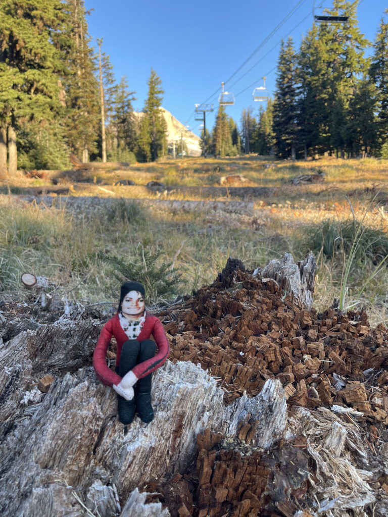
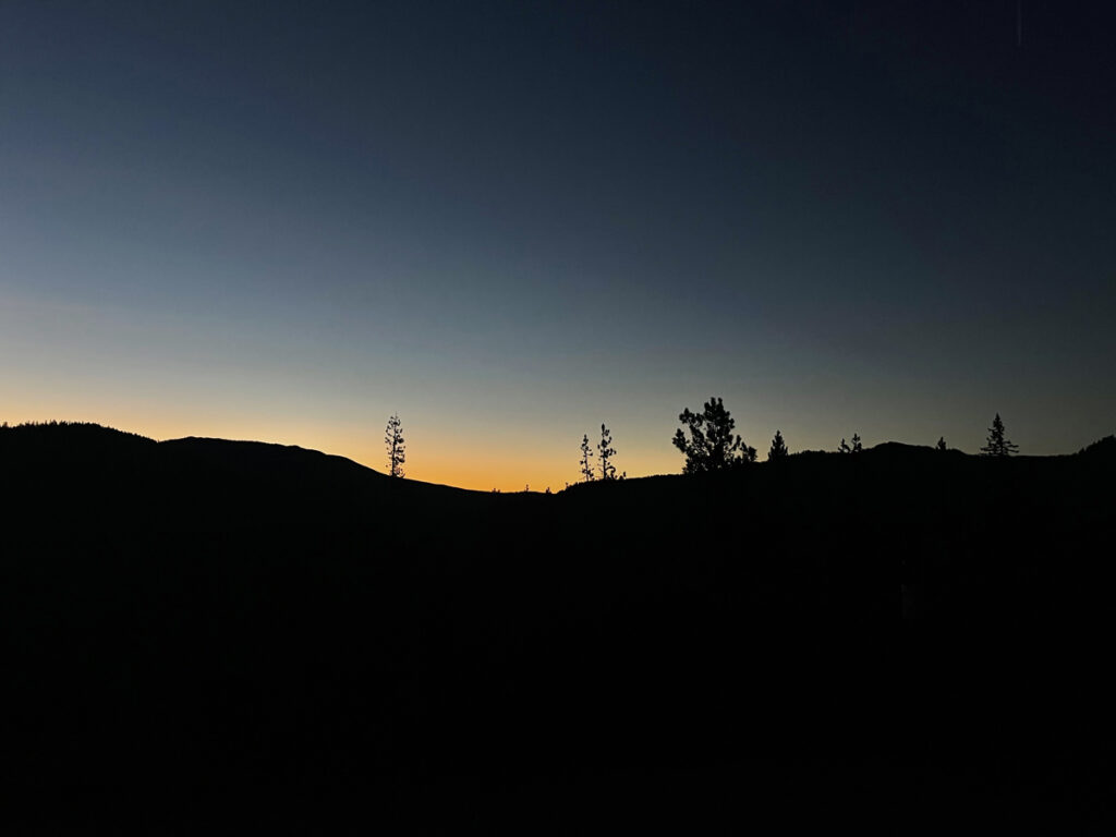
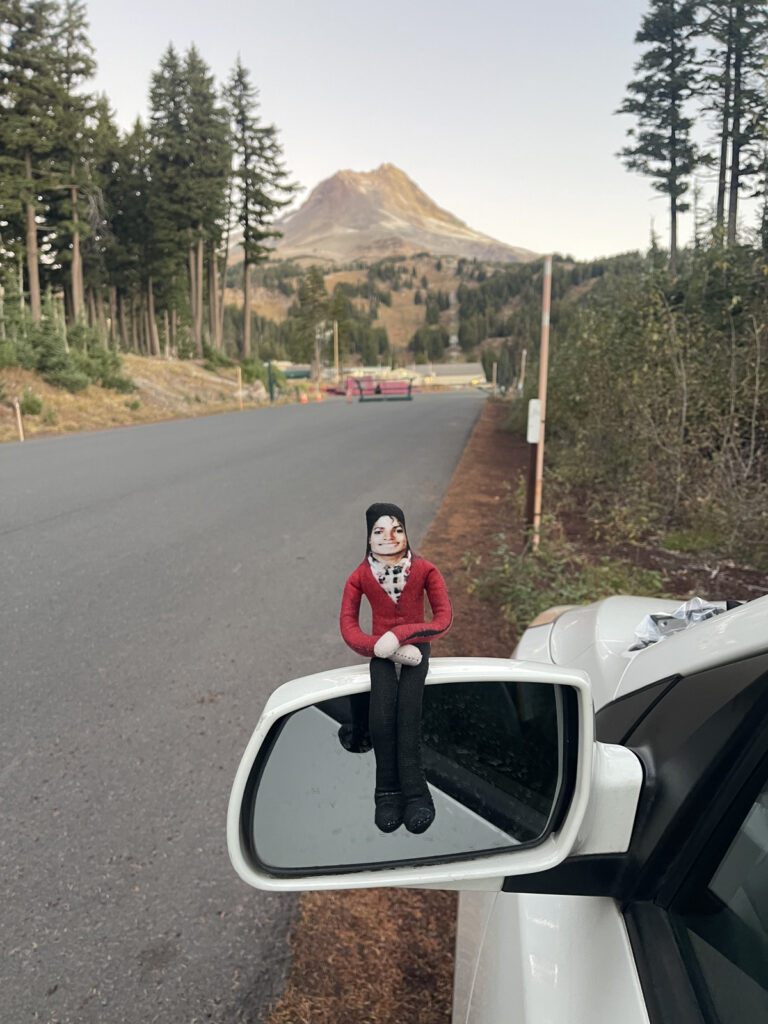
Per usual, we arrived just as the sun began to rise. Because we were early, after finding our starting point (Mt. Hood Meadows, a popular ski resort), I drove about four (?) miles back the way we came to a sno-park lot so I could (1) use the bathroom and (2) snap a photo of the first sliver of light.
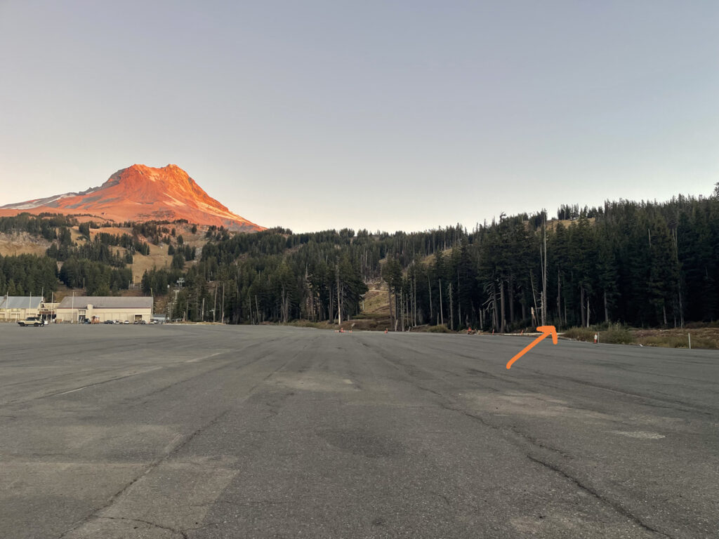
The beginning of the trail is on the periphery of the Meadows parking lot (orange arrow in the second photo below); the AllTrails navigation leads you right to it. The main gate to Meadows was locked. There was a narrow section to the left that was open that was clearly for employees, not hikers. I parked on the shoulder just outside the gate. From what I gather from AllTrails comments, the gate to the parking lot is closed when Meadows isn’t open, which makes sense. When Meadows is open (ski season), this particular trail is inaccessible—much of it is under ski lifts and cuts through ski runs.
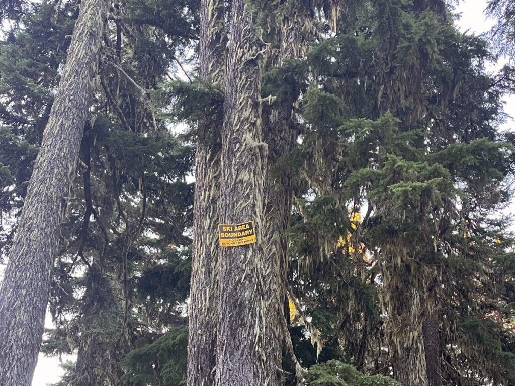
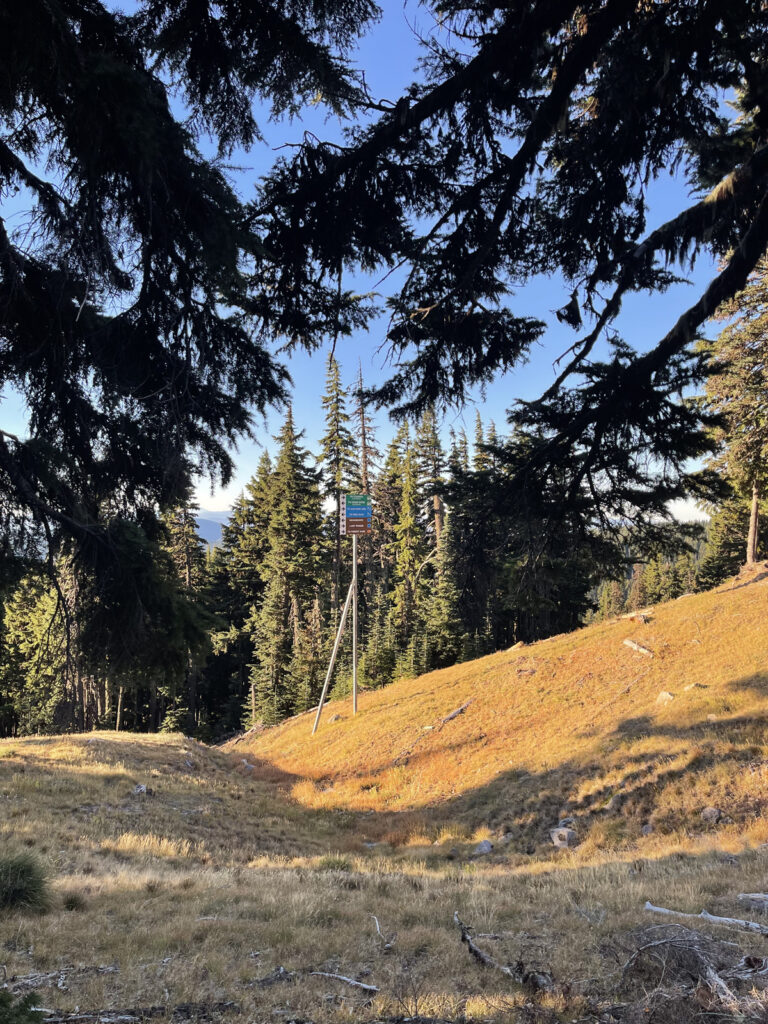
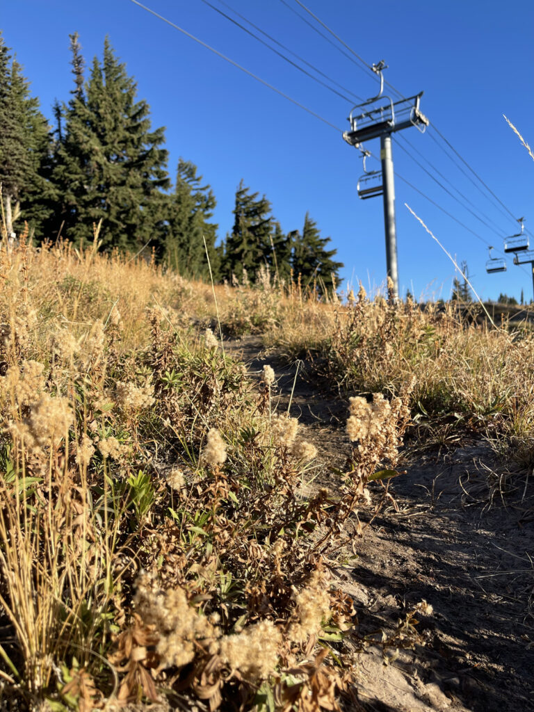
The day we were there, crews were preparing the lifts for the upcoming season. On the one hand, this was a little annoying as a hiker because there was a lot of noise (trucks transporting the crews between the resort and the lifts, the sounds of the lifts operating, workers yelling over the sounds of the lifts) that took away from the usual calm and quiet of the trail. On the other hand, one of the crews invited us up to the lift to get a view of the skyline and Mount Jefferson. You win some, you lose some.
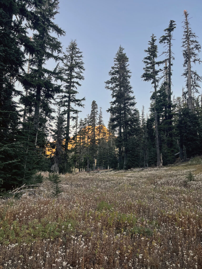
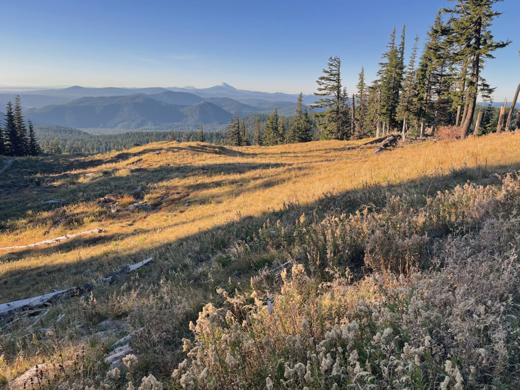
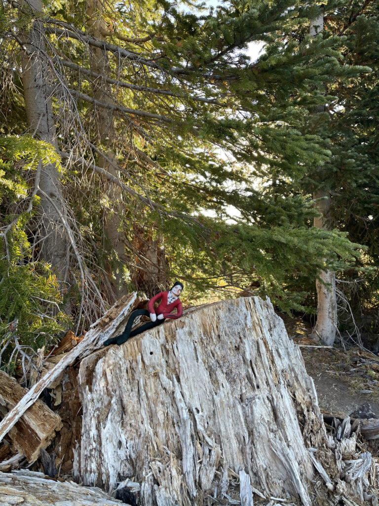
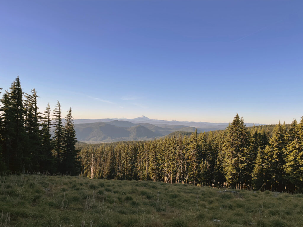
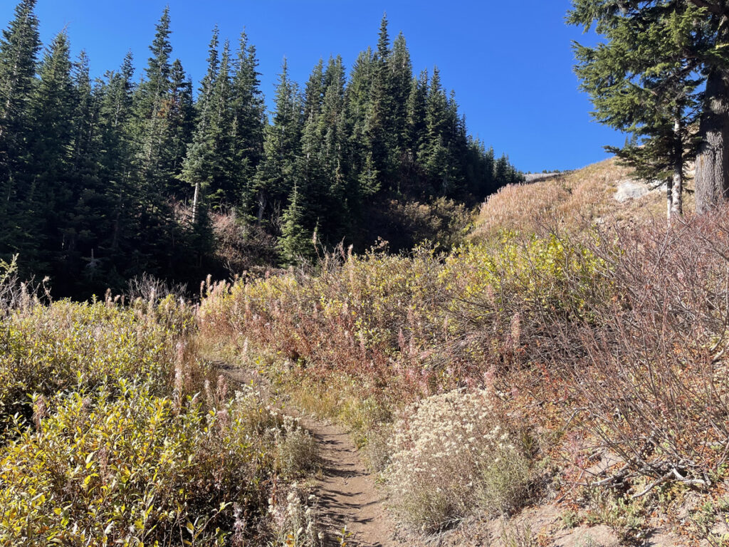
Much of the trail is exposed to the sky, with a few short stretches, in neat narrative fashion, at the beginning, in the middle, and toward the end, under tree cover. I can see this being a pain in the ass during the very hot months of summer. Because we went in mid-October, it was quite pleasant and we were treated to the most dreamy golden light for basically all of the time we spent under the sky.
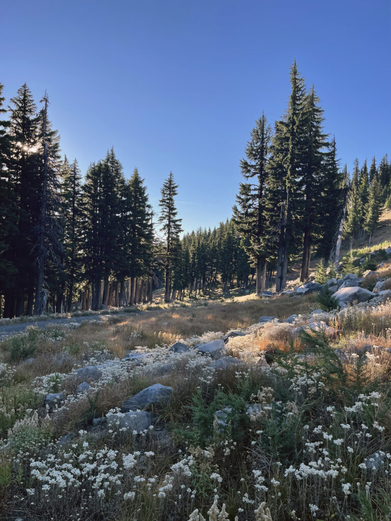
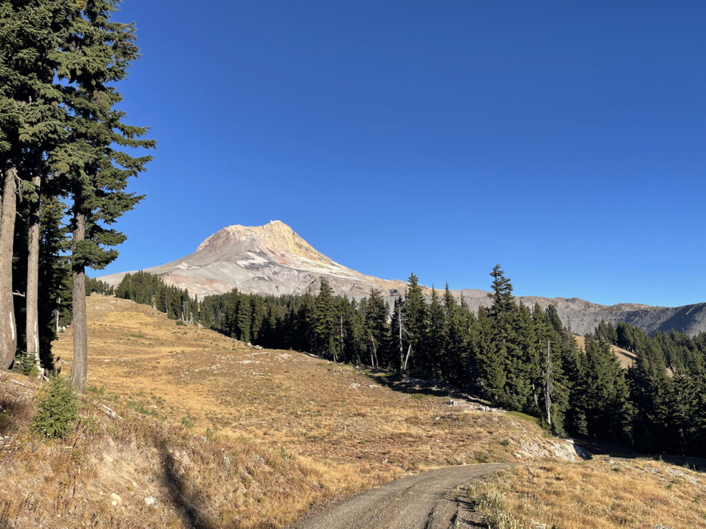
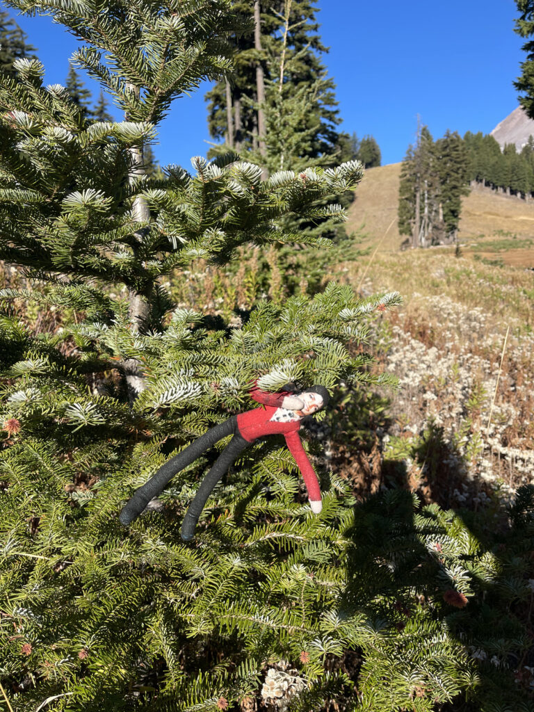
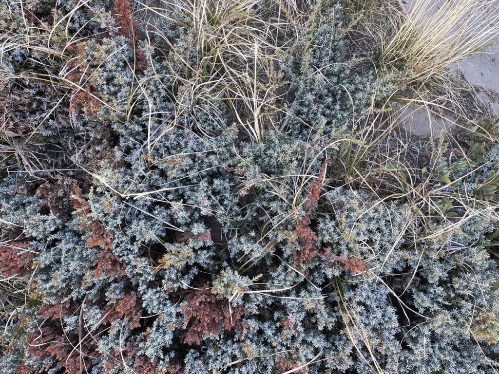
The colors and textures were incredible, too. A visual feast.
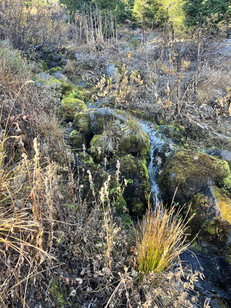
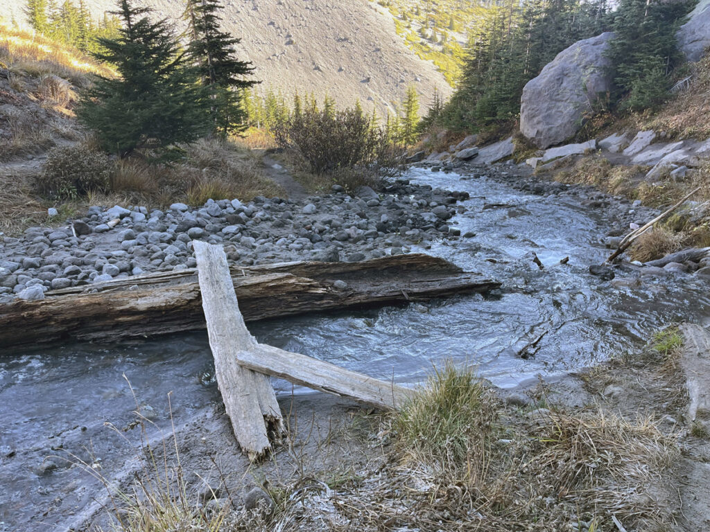
The first water crossing—which is the only one if you don’t continue on to Clark Creek Falls—is Heather Falls. The day we were there, there were halved logs arranged for an easy crossing. Even without the logs, this felt like a pretty easy crossing to me: the water was shallow and its flow nothing like the rush of other water crossings in the area, which do intimidate me (the river crossing on the Ramona Falls Loop, the river crossing on the PCT to Paradise Park Loop, and the crossings of Clark Creek, which I encountered shortly after this one). Using Tom Kloster’s rating system for Mount Hood’s glacial stream crossings, which I find delightful and charming despite the seriousness of the subject, I’d give it one 😳 emoji. (Tom’s rating system comes from this excellent article about the need for safe stream crossings on Hood.)
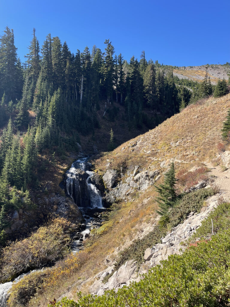
This waterfall (below) is what you’re crossing, as seen from the other side. The trail meets the water a little ways’ back from the drop off of the falls, and you can easily walk even further away from it to cross and rejoin the trail on the other side, which is what we did. From here, it took us about 20 minutes to hit Clark Creek.
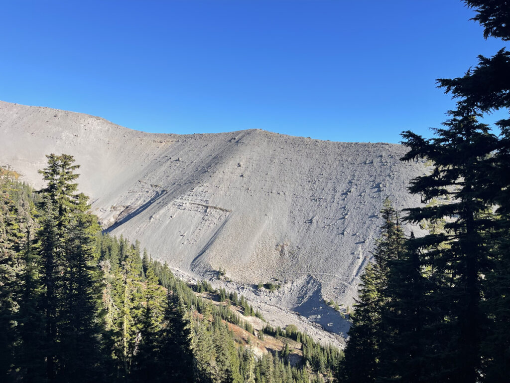
Before you hit Clark Creek, you begin to see Hood’s enormous sand (?) ridges. Truly massive. None of the photos or videos I took did them justice. Un-fun fact: One of my greatest hiking fears is the “sides” of whatever I’m hiking through collapsing in on me and burying me alive. No matter the distance between them, and the miles of open sky above, it makes me feel claustrophobic every time.
Once you hit Clark Creek you can either call it a day and use that as your turnaround, or you can very slowly and carefully forge your way the last quarter-ish mile to the bottom of Clark Creek Falls, which is the terminus of the trail on AllTrails. There is no visible path to get there. You have to make it yourself.
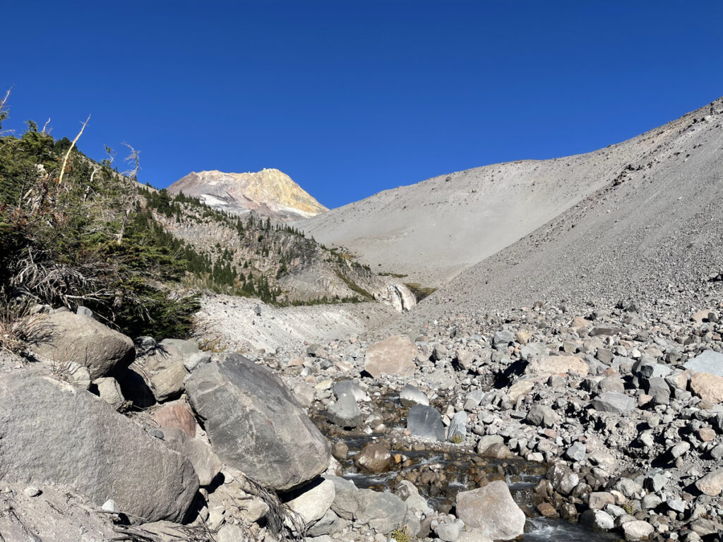
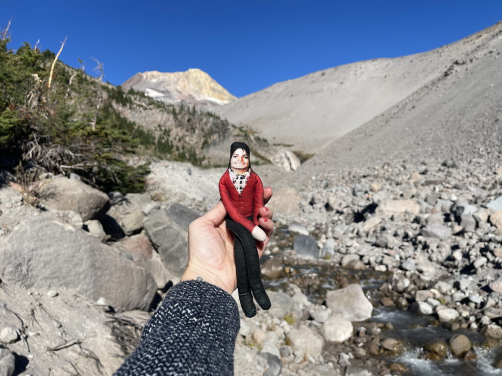
To get there, I zigzagged across the creek several times, crossing in places where the water was more shallow and more still, and where there were stable rocks to step on to avoid sketchy stretches of sand on both sides. It took us just under 20 minutes to go that last quarter-ish mile.
If you choose to hike all the way back to the base of the falls, know that the path is not straight back. Once you begin toward the falls, you very quickly look sight of the trail, which means you very quickly disappear from view. Unlike much of the rest of this hike, there is no cell service here. If you get into trouble, you’re probably pretty fucked, especially if you’re alone. Use caution.
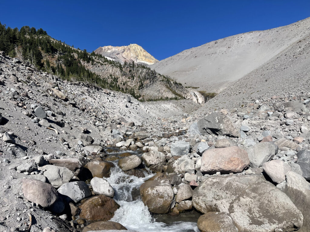
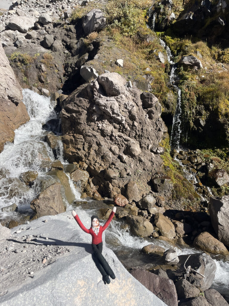
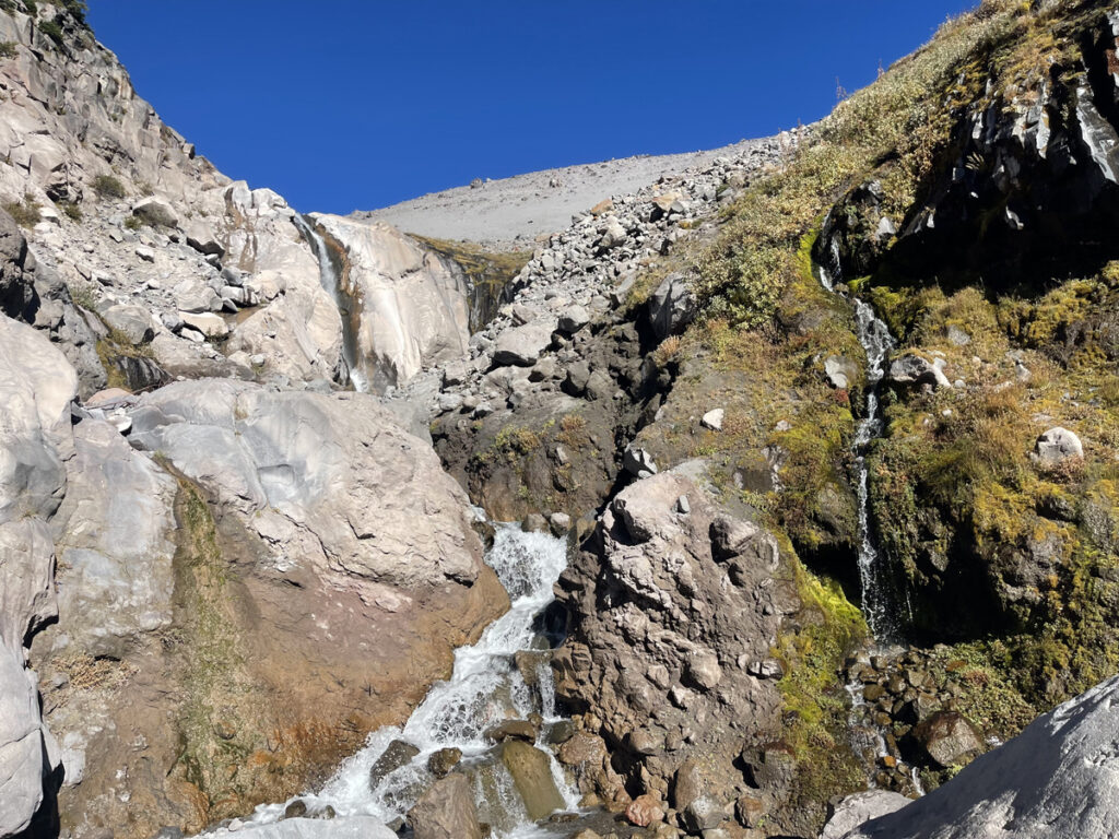
We hung out at the base of the falls for quite a while, eating Pop-Tarts—my favorite midway-of-the-hike snack—and taking a bunch of photos.
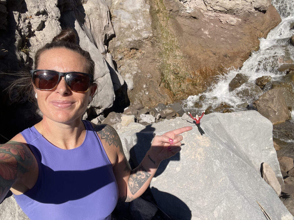
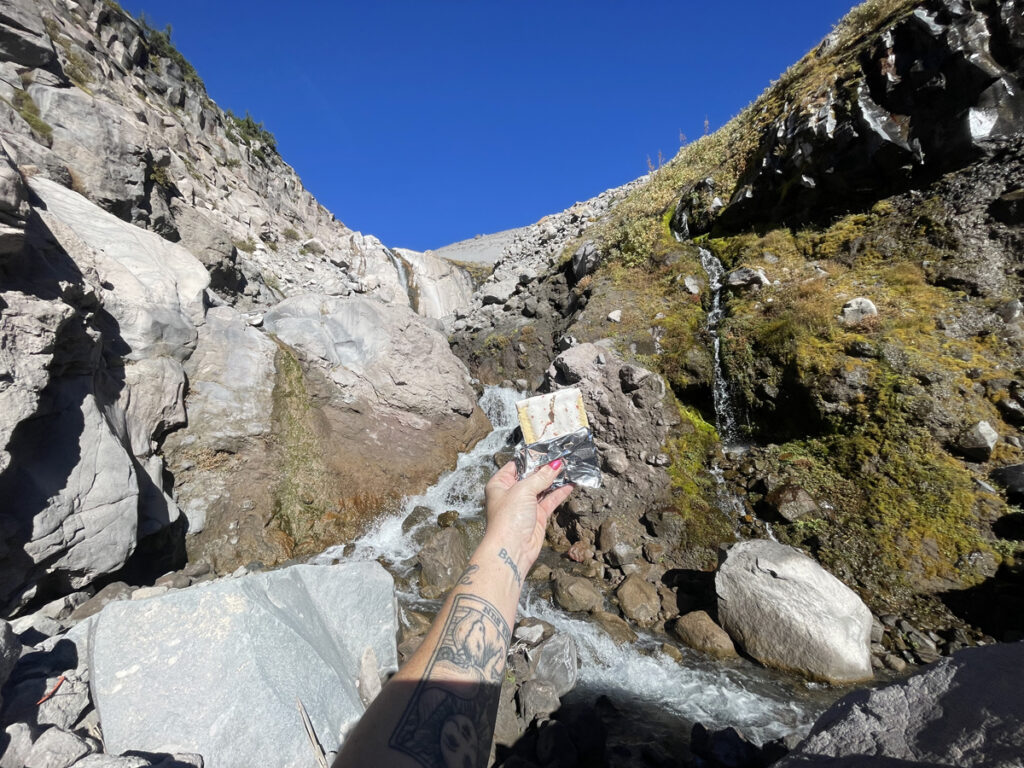
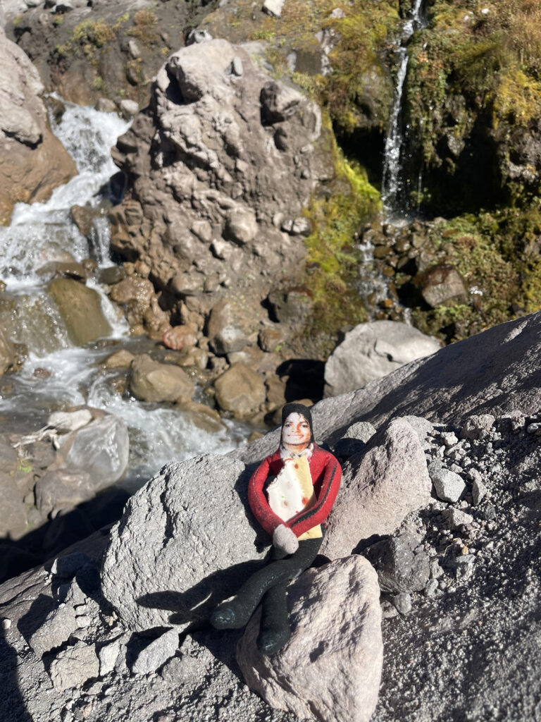
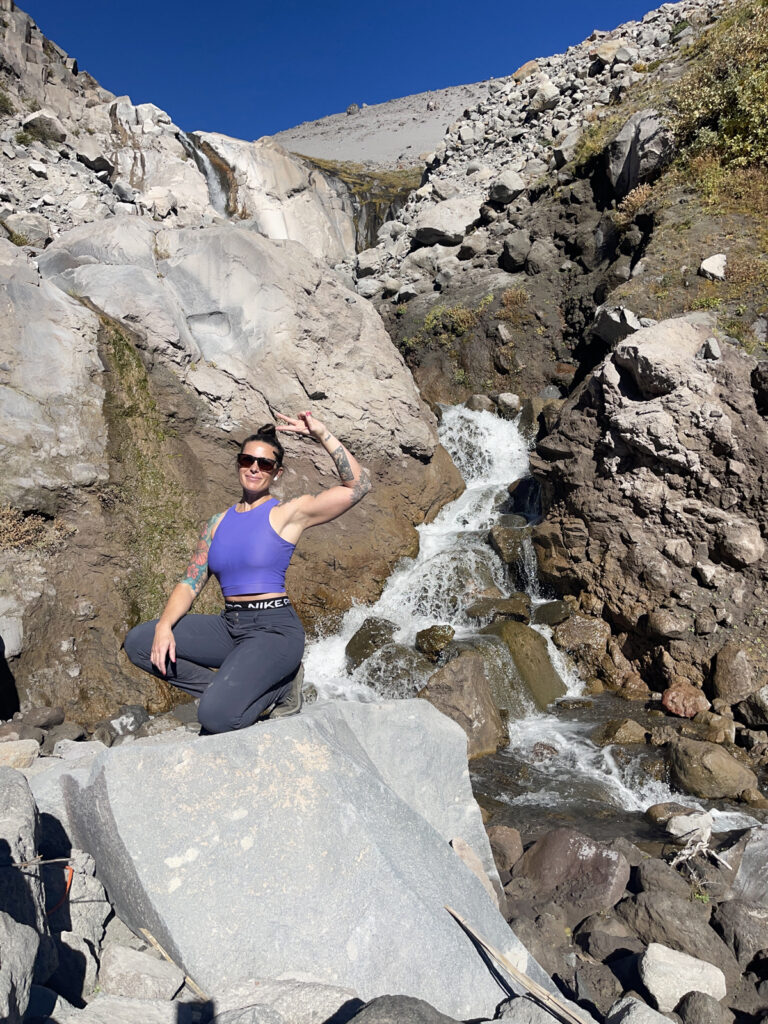
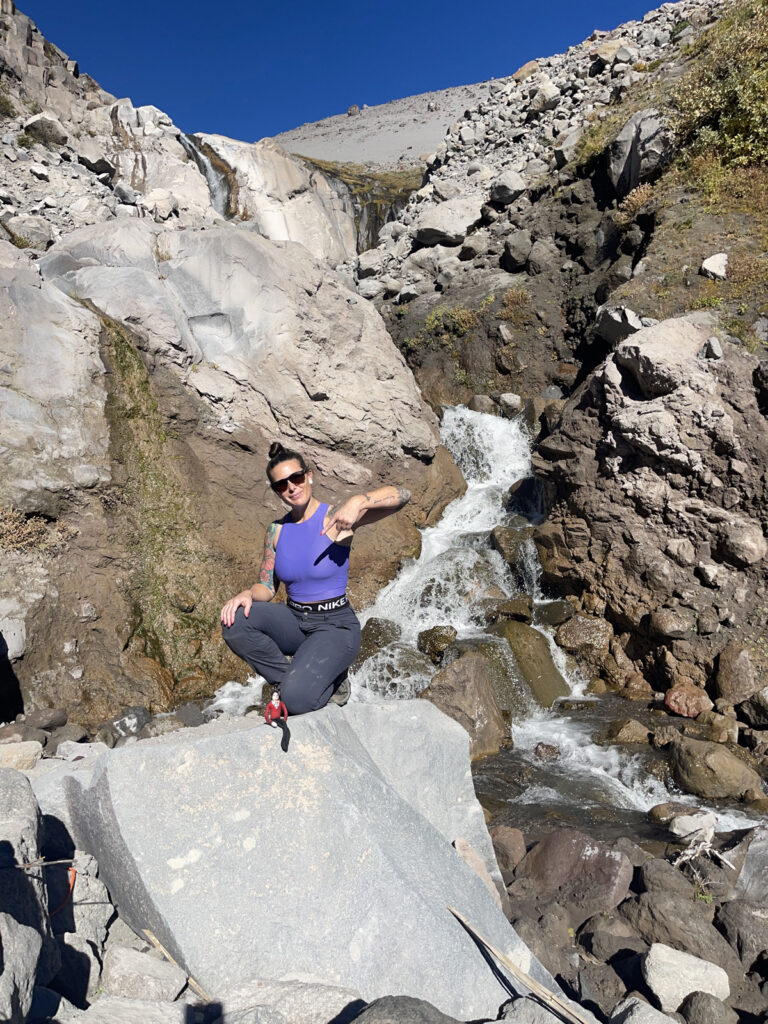
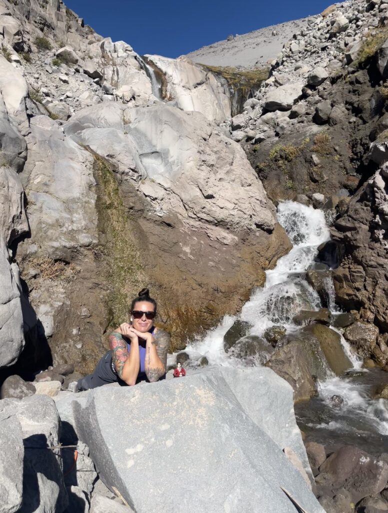
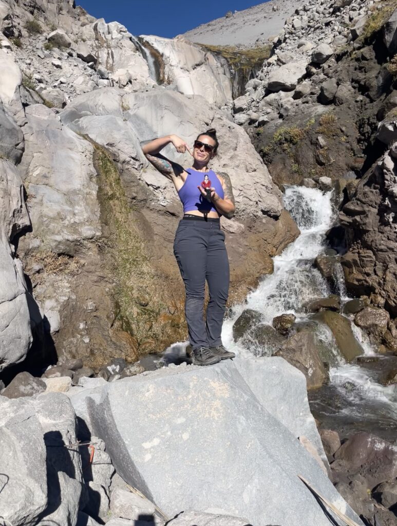
And then, we began the slow quarter-ish-mile trek back to the trail. Once you hit the trail, you can go back the way you came. Or, you can take a slightly shorter route back to make a loop of it. This is what we did, following AllTrails’ navigation.
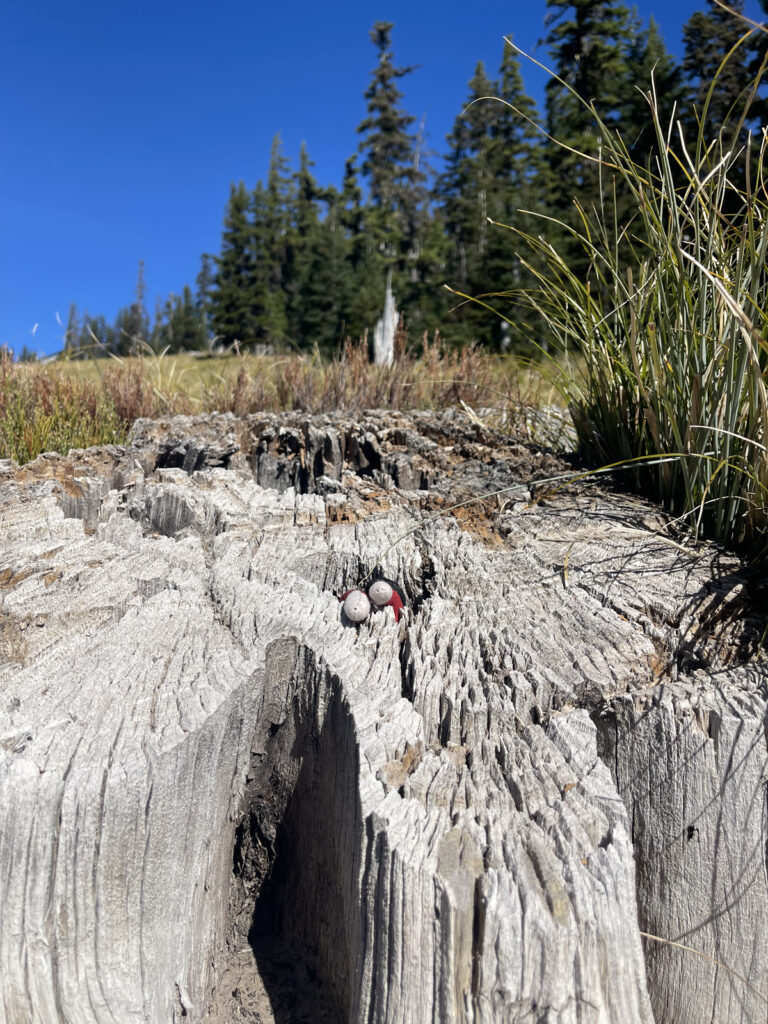
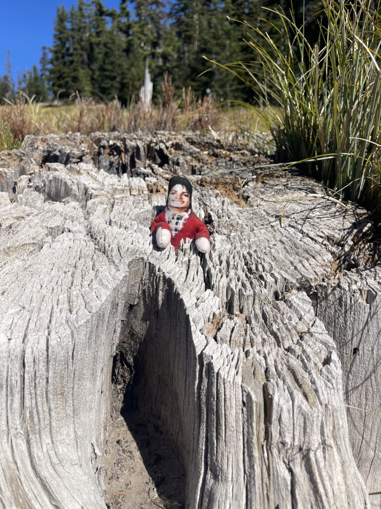
We clocked 7.77 (!!) miles in 3 hours and 28 minutes under a clear sky and a warm sun (it was in the high 60s and low 70s). A perfect day for a beautiful hike.
Mount Hood is truly so beautiful, y’all. I’m grateful I got to experience her in all her fall glory, and I can’t wait to visit her again after the snowy season.