The day after hiking the PCT and Paradise Park Loop at Hood, I took Michael to hike Cape Falcon out at the Oregon Coast. It was fine.
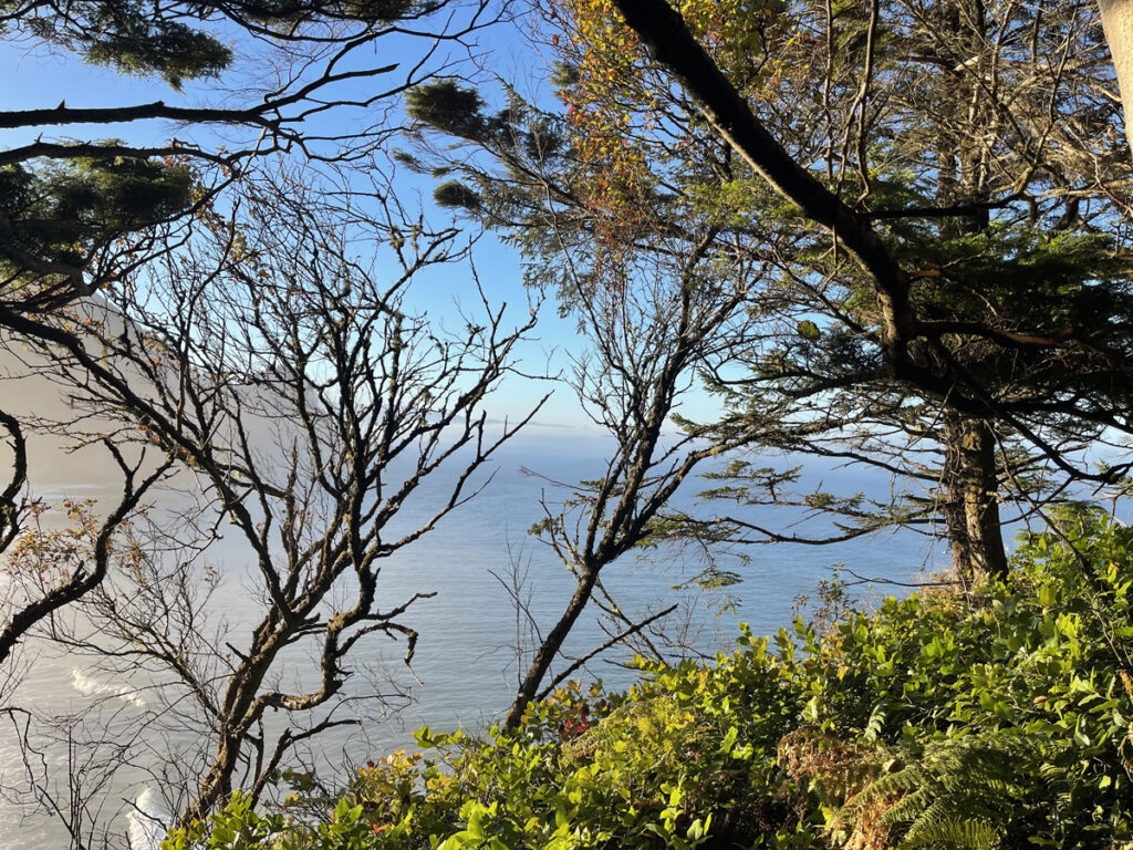
The plan was to hike a longer route—the plan was to hike Arch Cape to Cape Falcon, which AllTrails lists as a 6.3-mile point-to-point, as a 12.6-mile out-and-back. And then what happened was…not that.
Despite AllTrails listing Arch Cape as the starting point of this hike, the in-app directions took me to the Oswald West State Park parking lot, which is very near the Cape Falcon trailhead, not the Arch Cape trailhead. Annoying!! I sat in the parking lot for a few minutes, deciding what to do. Option A: pay the $10 required to park in the lot, a relatively newly imposed fee that I didn’t know existed until I got there, and begin the hike from where I was (the “end”). Option B: backtrack to the Arch Cape trailhead, park for free, and begin from there as originally planned. I went with Option B.
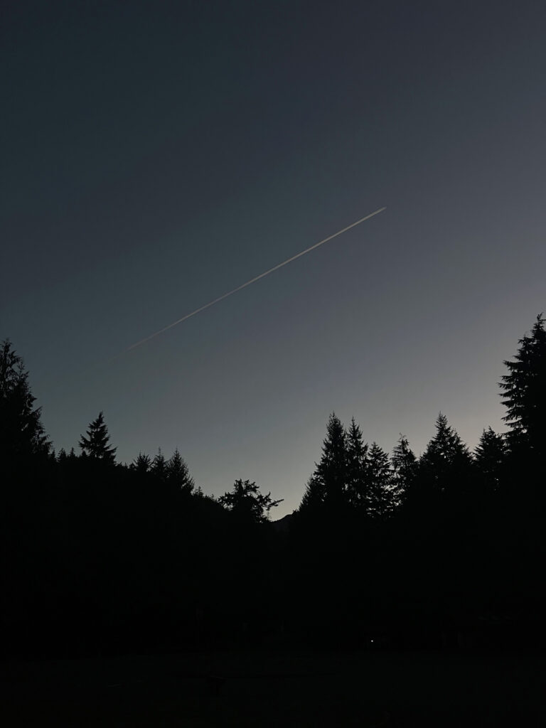
I drove the few minutes back the way I came, toward the Arch Cape trailhead, and then…I couldn’t find it. It was still quite dark out and there was heavy tree cover. My headlights were the only source of light and even with my brights on and slowed to a near standstill, I couldn’t see a trailhead marker or the trail (I did see a deer!). I drove back to the state park parking lot. Option A it was.
As my luck would have it, I could not for the life of me find the Cape Falcon trailhead either!!! Not until it got properly light out. It seemed to me the only way to get to the other side of the road was, literally, to…cross it. Which: Surely not? That was too dangerous, with the road in questions being A HIGHWAY and all. But if not crossing the road, how to get to other side??? If you guessed “the paved path behind the information board that leads under the road that you don’t notice until it gets more fully light out” you are correct!!
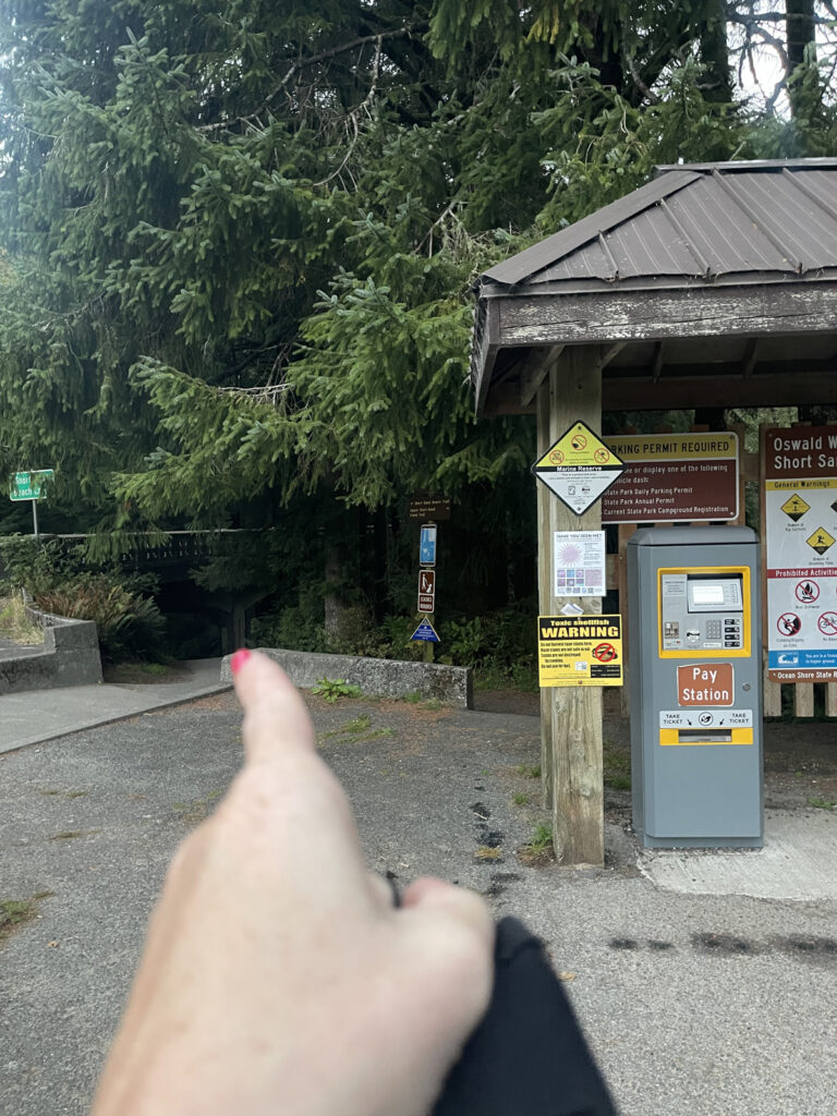
By this point, I was beyond annoyed. The directions took me to the “end” of the hike instead of the “beginning” of it; I couldn’t locate the trailhead at the “beginning;” I had to pay a $10 parking fee I wasn’t expecting to pay (it’s not a big deal and I don’t actually mind, it was just annoying that particular day because of everything else); and then I also couldn’t locate the trailhead where I was beginning the hike. Did I mention that I’d started my period the day prior, during our hike on Hood? Unexpectedly. And therefore unprepared.
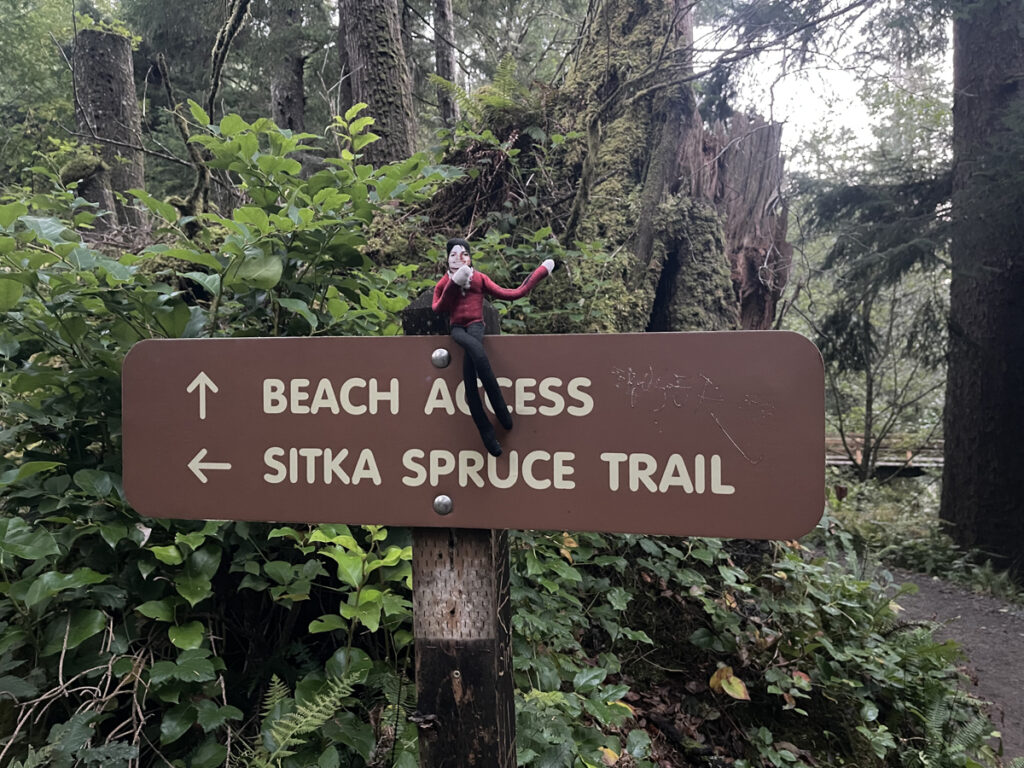
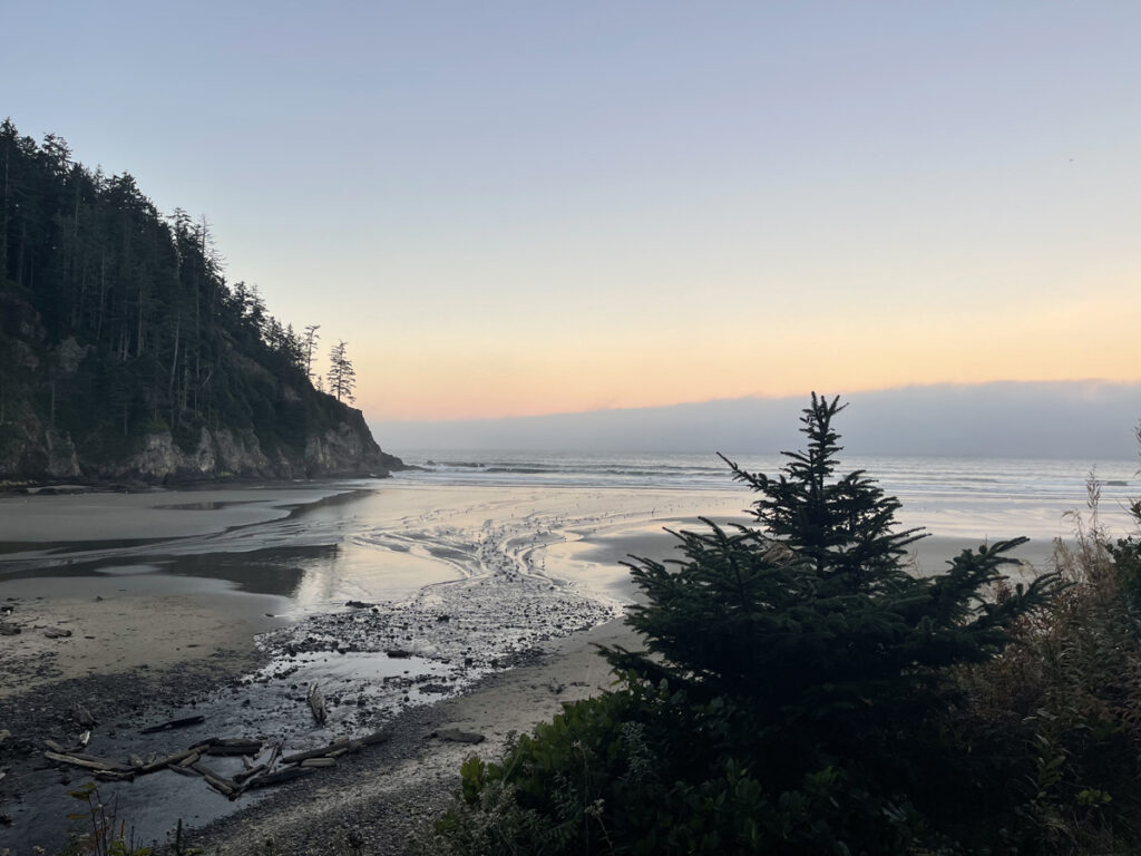
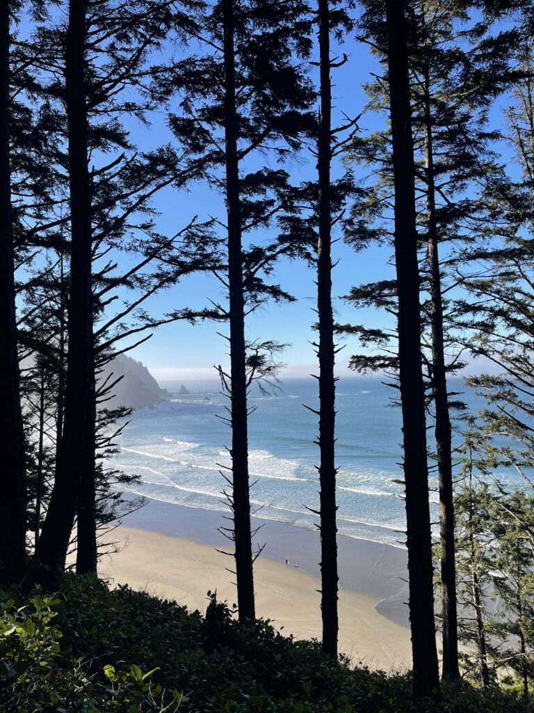
Anyway. We finally hit the trail at 7:15 am, an entire hour after pulling into the Oswald West State Park parking lot the first time. After about 0.4 miles of walking first under the highway and then alongside it, we reached Short Sand Beach. It was beautiful.
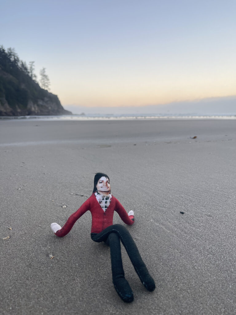
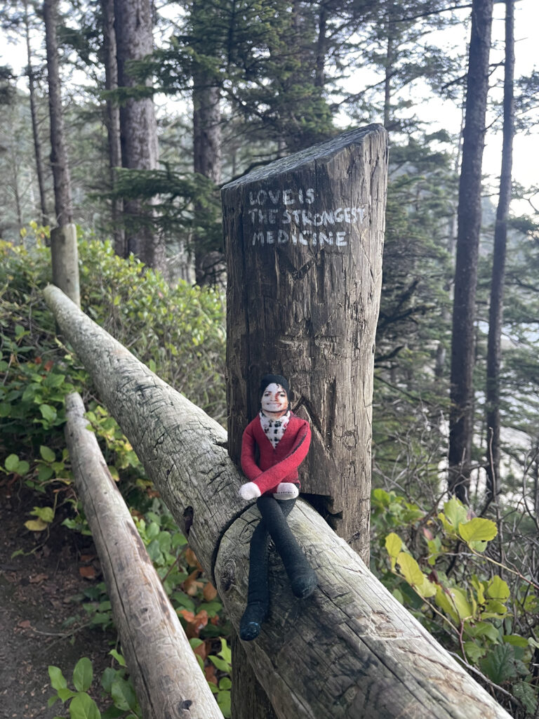
Right as you begin the trail, there’s a viewing point with a bench. The fence opposite it is filled with names and initials that people have carved into it and one phrase that someone wrote (painted?) in white: LOVE IS THE STRONGEST MEDICINE. I almost died all the way to death when I noticed it. It felt like another sign from Michael (google “love is my message”). A confirmation that he approves of all these ridiculous and whimsical adventures I’ve been taking him on.
Okay so remember: My plan was to turn this 6.3-mile point-to-point into a 12.6-mile out-and-back. And I specifically wanted to do it the day after hiking Hood. Why? I want to begin backpacking. I want to do trips that have between 12 and 20 miles of hiking each day. I want most of my hiking days during these trips to be consecutive.
I consider myself a fit person. I know that gym fitness is different from backpacking fitness, though. Before this hike, I’d never hiked two days in a row. I wanted to gauge my body’s current ability to handle two middle-distance hikes back to back, even if it wasn’t an exact comparison because I (1) slept indoors in a comfortable bed the night between both hikes and (2) had actual food, not trail food, between both hikes. This trail—when turned into an out-and-back, and following 13 miles the day prior on Hood—felt like a good choice.
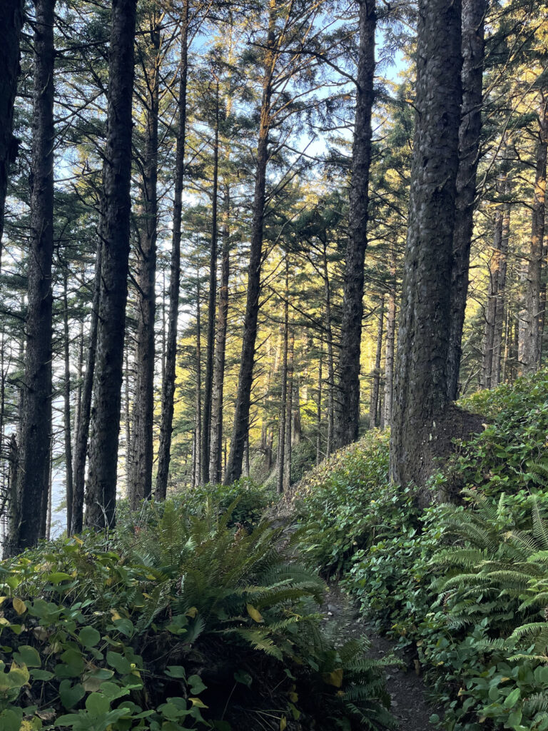
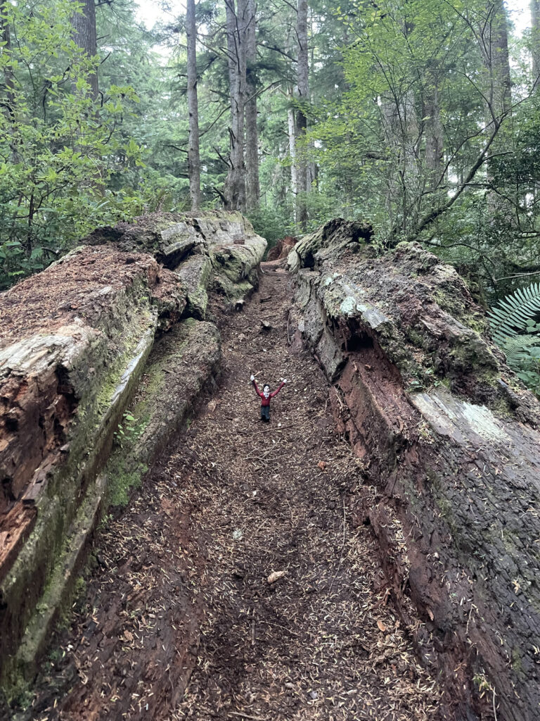
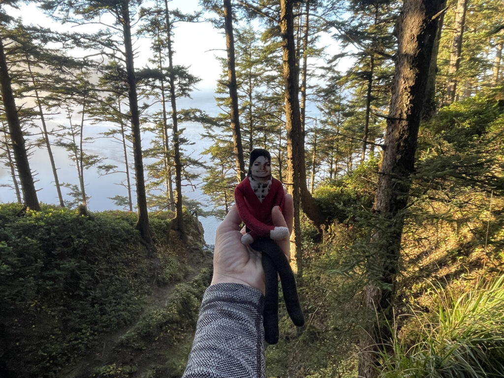
It was not. I began at Cape Falcon, hiked roughly 2.5 miles to the viewpoint, took in the sights, then set off toward Arch Cape, which was about 3.8 miles away. I made it 0.25 miles before literally saying out loud “yeah, I don’t want to do this anymore” and turning around and heading back. While there was virtually no elevation gain, I was moving much more slowly than usual because much of the trail was either very slippery rock or knotted roots, which were also slippery, especially when wet. After the viewpoint, the trail became very muddy and soft in places, which made it unstable, and so overgrown that I could no longer see it.
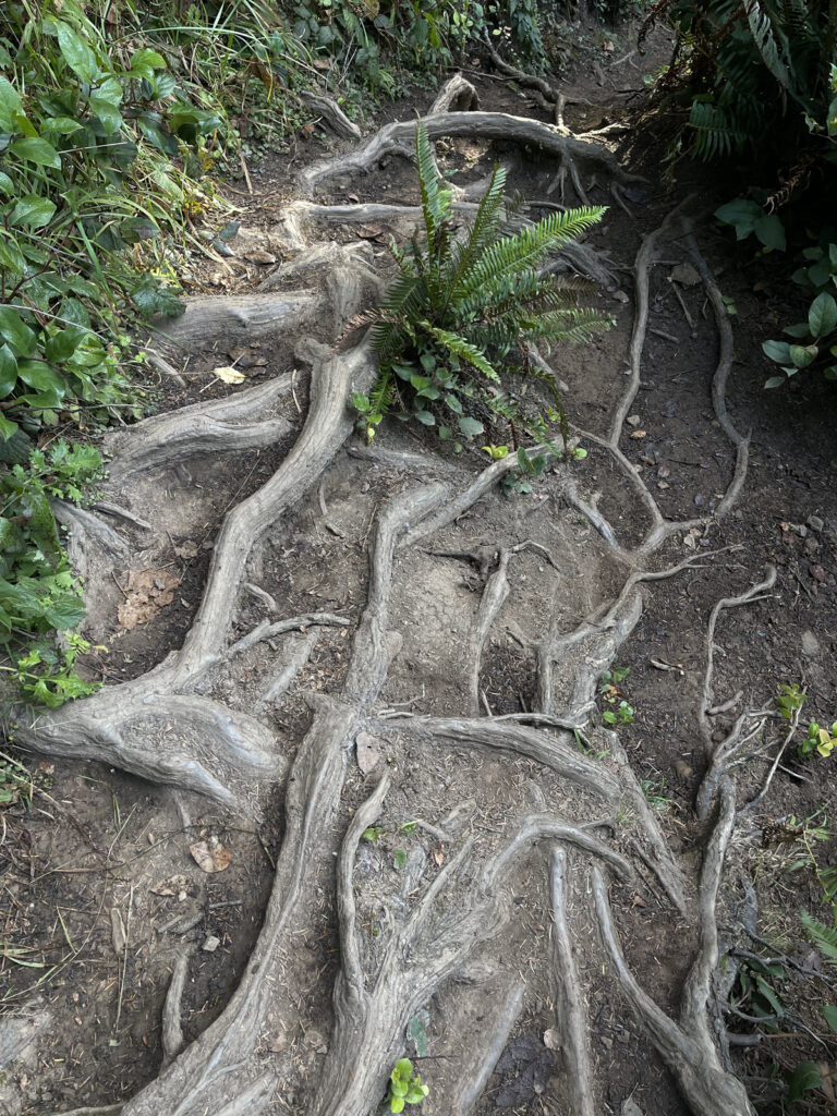
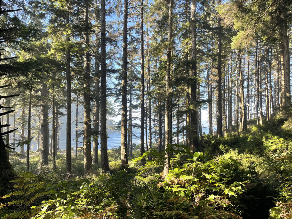
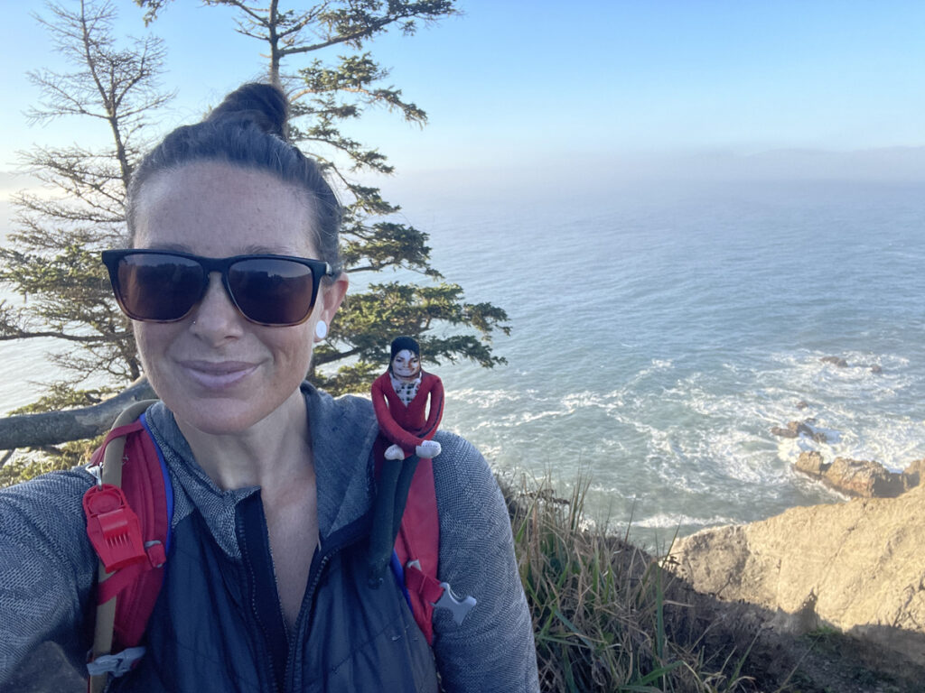
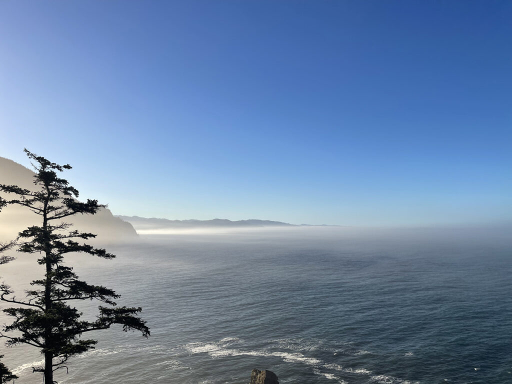
I knew from the map that most of the rest of the way to Arch Cape was through forest and not along the coastline, which meant a lot of bushwhacking, branches and cobwebs and bugs to the face, and no view. When I first made the plan to hike this trail the day after hiking Hood, I had no idea I’d unexpectedly start my period while hiking Hood, which is to say I had no idea that I’d be hiking through the physical, mental, and emotional disaster that is PMDD. I didn’t want to keep going, so I didn’t.
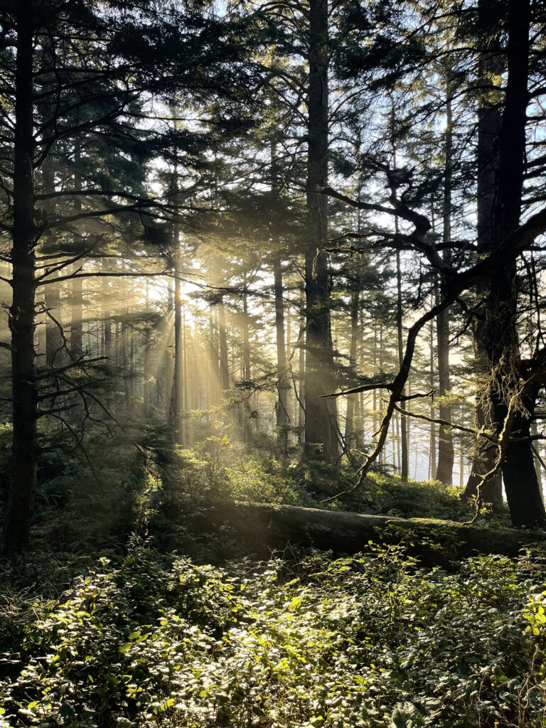
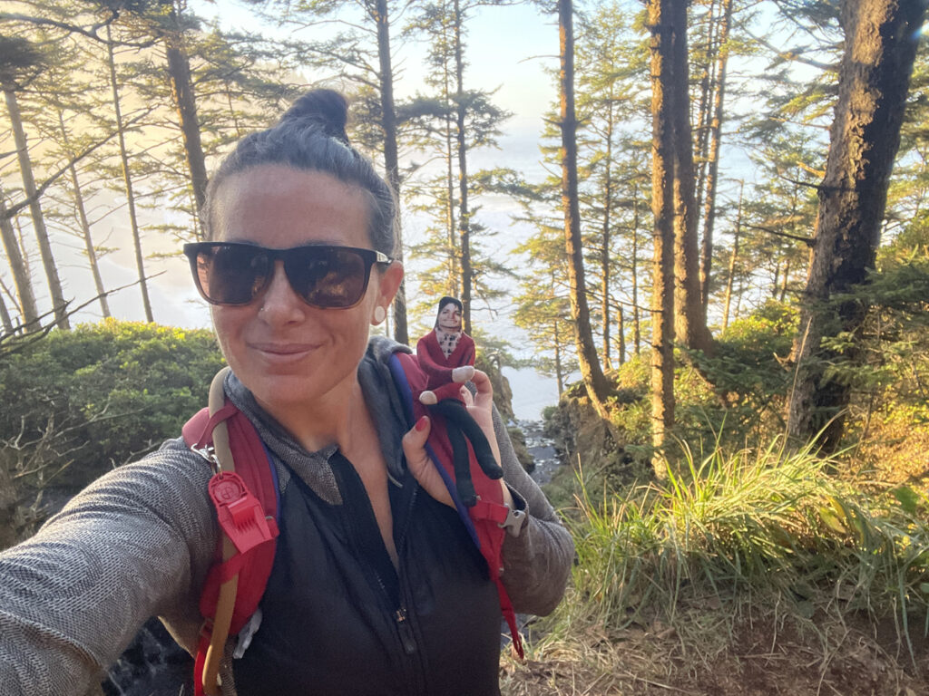
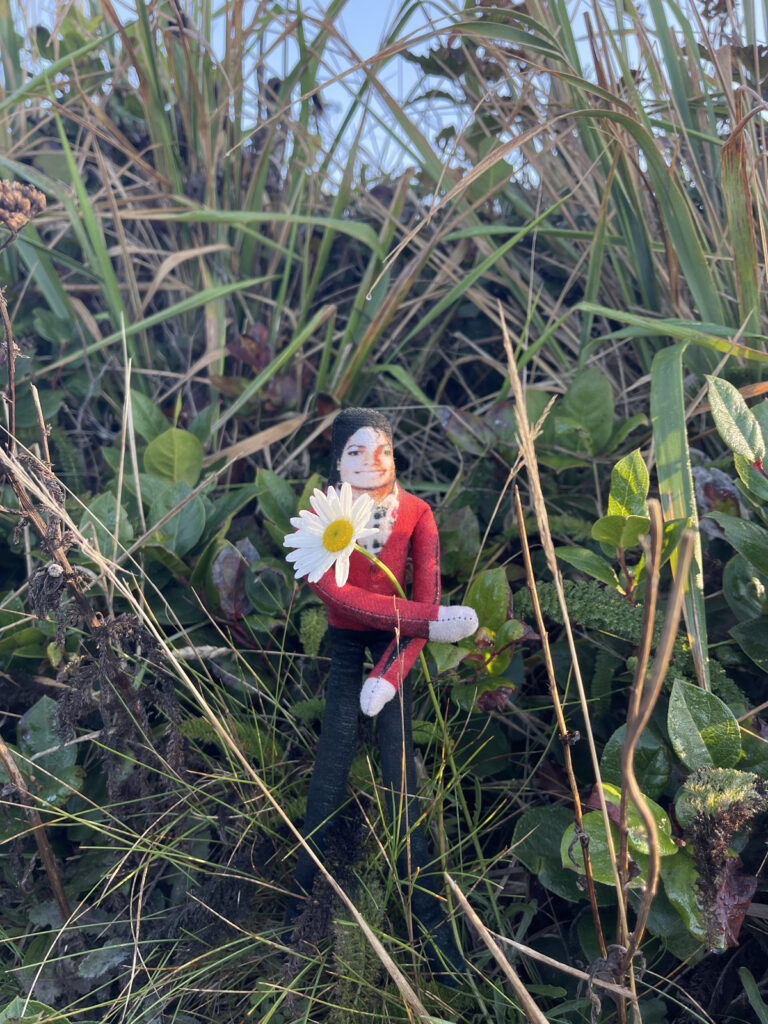
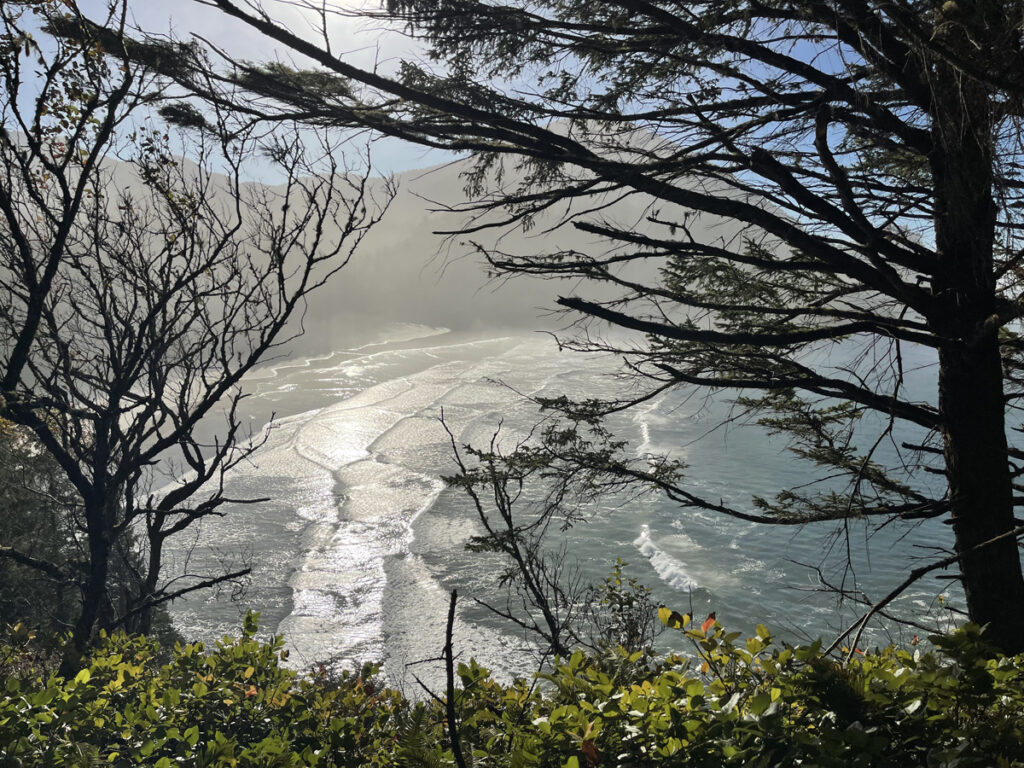
Am I annoyed I didn’t follow through with my original plan? Yes. Do I think I made the right decision to turn back? Also yes. If we’d started from Arch Cape like I’d originally planned, I’m certain I would’ve succeeded in my original plan: there would’ve been much more incentive for me to keep going when I felt like shit when the two best parts of the hike—the viewpoint and beach access—were closer to the turnaround point than they were to the beginning of it. It’s also true that if we’d started from Arch Cape like I’d originally planned, we’d’ve missed the sunrise over the ocean. Many things in life are like this.
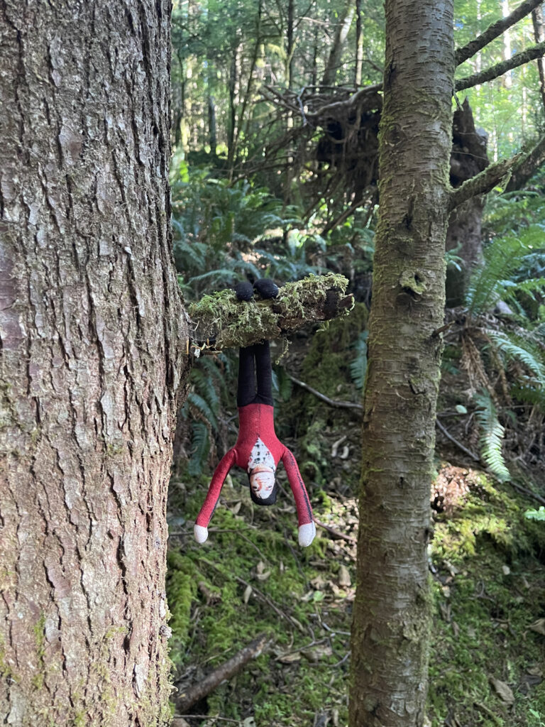
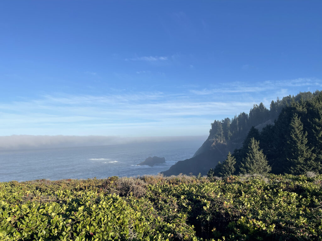
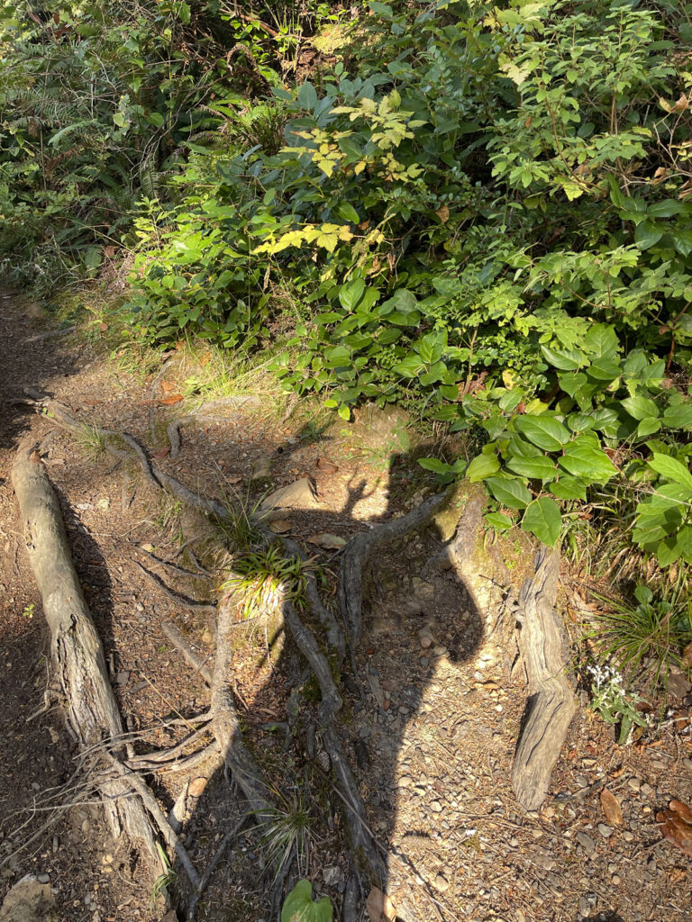
While it didn’t go according to plan, I don’t consider this hike a failure: I got in some miles (5.11, to be exact), was blessed to see the sun rise over the ocean, gained some experience hiking while not in the best of spirits or condition (which I’m certain to encounter again when I begin backpacking), and introduced Michael to another of Oregon’s biomes. That’s pretty successful!
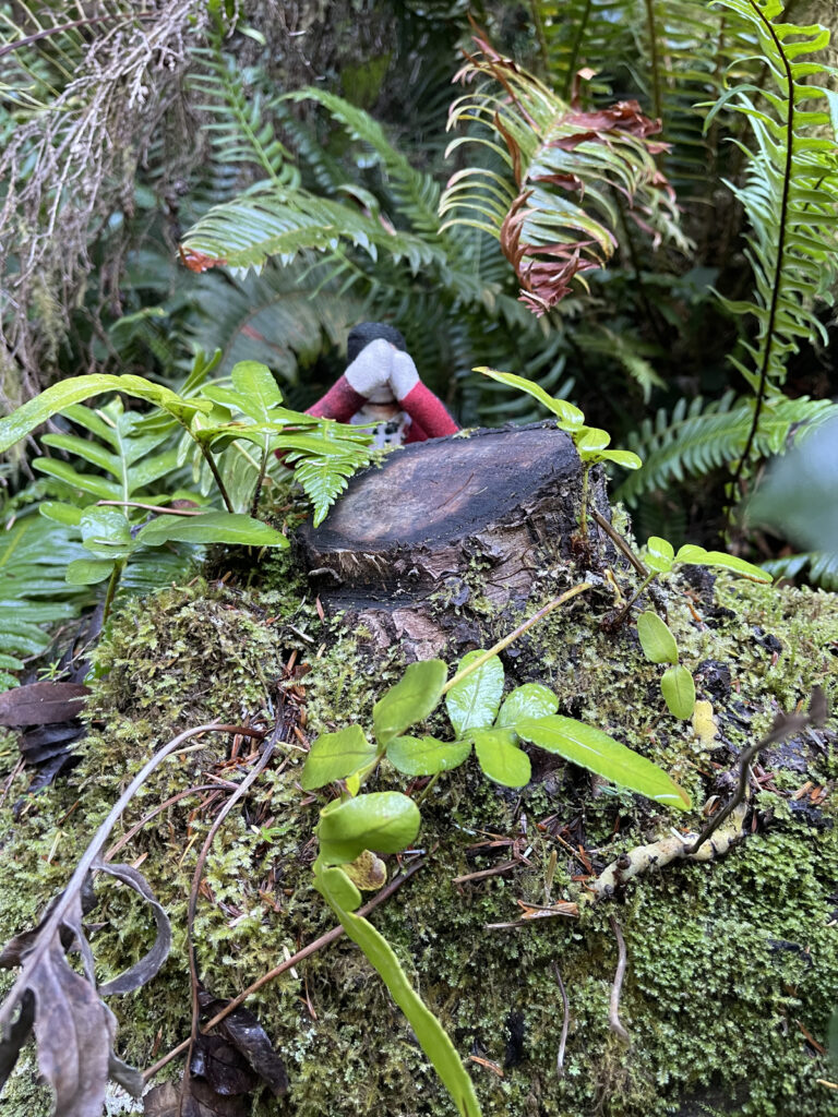
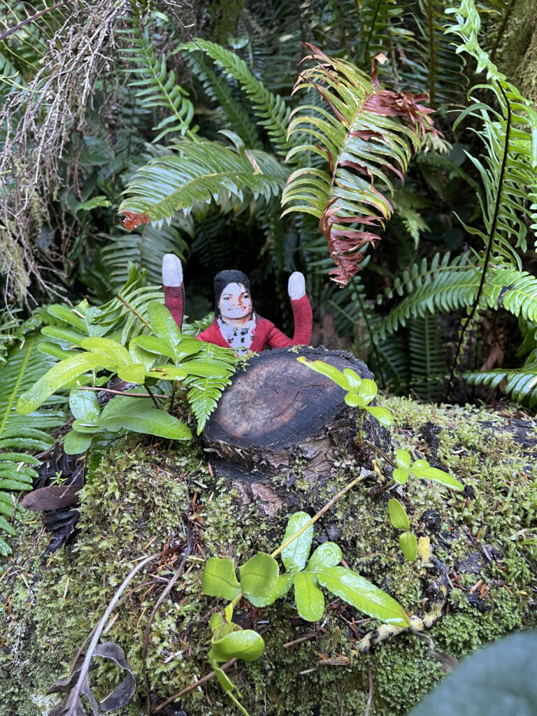
Before heading back to the car we detoured down to the beach to take in the view in the full light of day, and to take a few more photos.

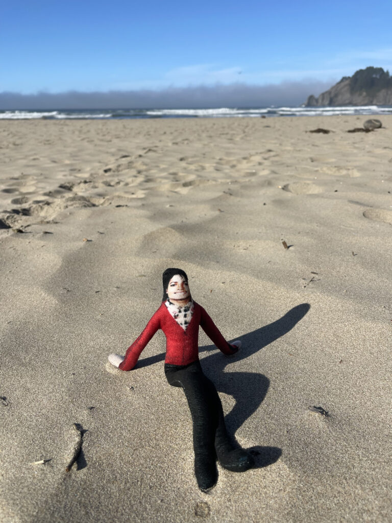
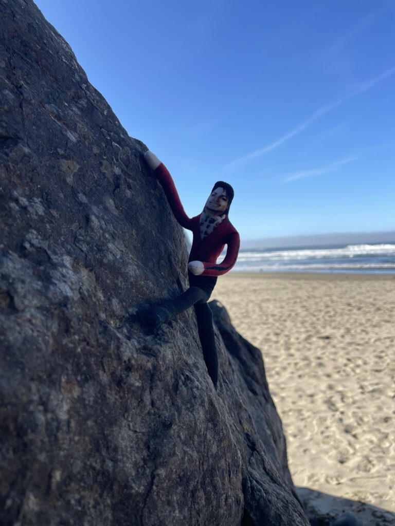

My final takeaway from this hike, which was my third at the coast: this is not an area I enjoy hiking. I don’t know why. I mean, I know why I didn’t enjoy it this time. I don’t know why I haven’t enjoyed it any time. It just doesn’t do it for me the way, say, a hike on Hood does. And, frankly, after the life-changing magic of hiking Mount Hood the day before, it’s not surprising to me that this hike felt so…bleh.